Large airport · Turkmenistan
Balkanabat International AirportTM-0002
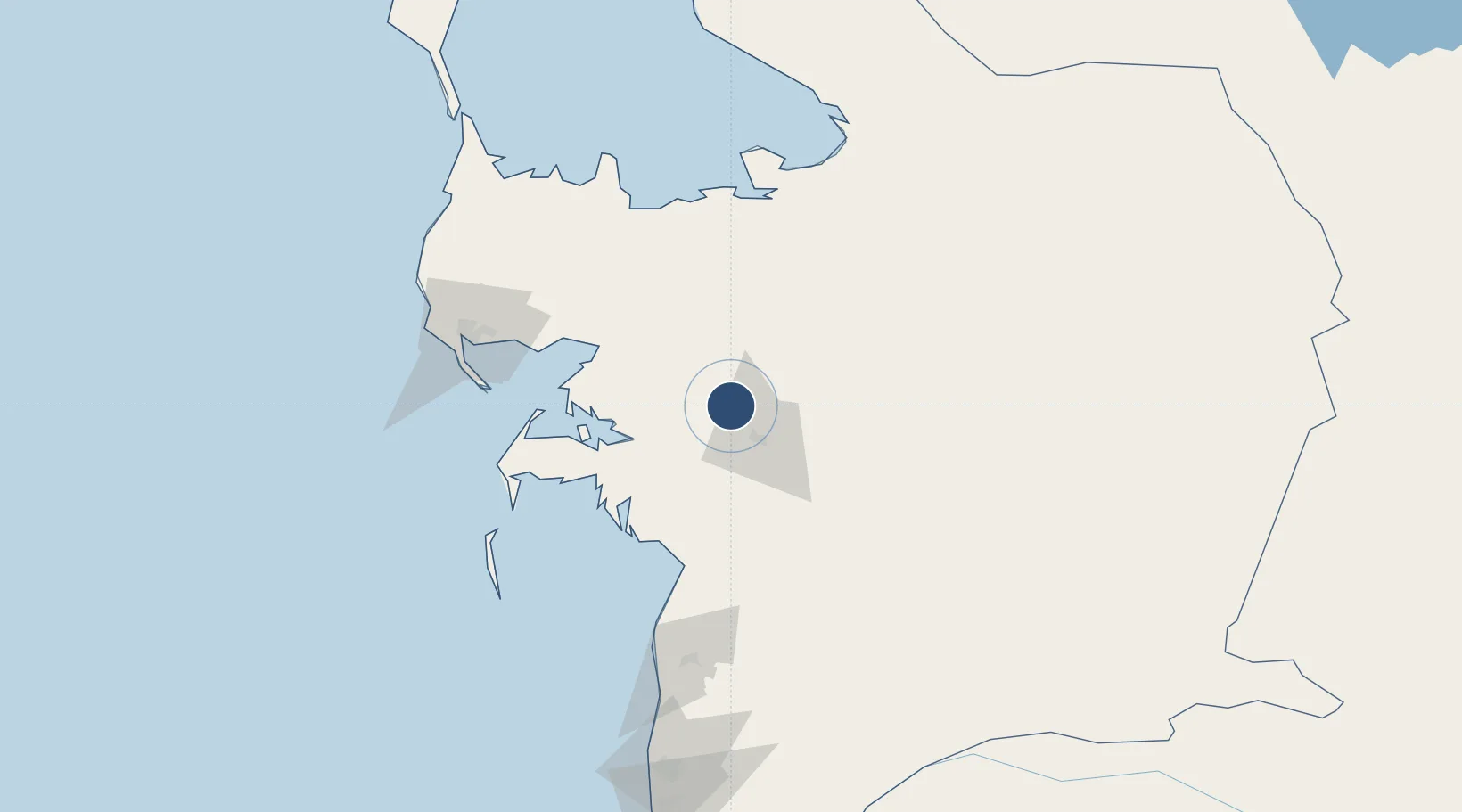
39.6811°, 54.2060°
10,499 ft
Longest runway
1
Runways
-26 ft
Elevation
Runway & Layout

Runways · 1
| Runway | Dimensions | Surface | True heading | Lit |
|---|---|---|---|---|
| 16/34 | 10,499 × 148ft | Asphalt | — | ✓ |
Airport Specifications
IATA code
BKN
ICAO code
UTAN
Airport class
Large airport
Scheduled service
Yes
Runway surface
Asphalt
Served city
Balkanabat
Location
Nearby Logistics Neighbours
Airports
- 1Balkanabat Airport26 km
- 2Turkmenbaşy International Airport111 km
- 3Gorgan Airport309 km
- 4Sari Dasht-e Naz International Airport349 km
- 5Baku Kala Air Base350 km
Cities
- 1Balkanabat23 km
- 2Cheleken97 km
- 3Turkmenbashi110 km
- 4Krasnovodsk112 km
- 5Bäherden310 km
Ports
- 1Bandar-E Mahshahr1121 km
- 2Bandar Khomeyni1129 km
- 3Khorramshahr1165 km
- 4Abadan1170 km
- 5Al Basrah1172 km
Trade Zones
- 1Amirabad Port323 km
- 2Pirallahi Industrial Park338 km
- 3Bojnord Special Economic Zone363 km
- 4Damghan Special Economic Zone391 km
- 5Bandar Nowshahr Special Economic Zone410 km
DatabookThe Record of Consolidated Knowledge
Turkmenistan beyond logistics?