Medium airport · Azerbaijan

Baku Kala Air BaseUB18
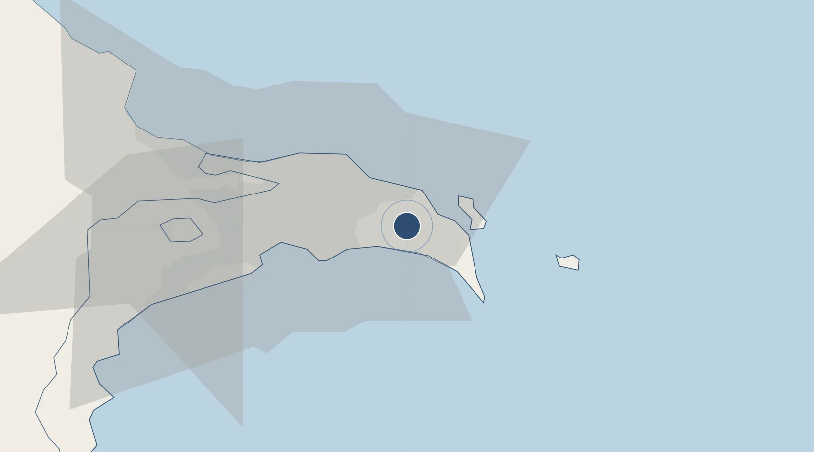
40.4084°, 50.2003°
8,670 ft
Longest runway
1
Runways
40 ft
Elevation

Runway & Layout

Baku Kala Air Base runway & taxiway layout
Runway & taxiway layout — OpenStreetMap (ODbL) / OurAirports

Runways · 1

RunwayDimensions SurfaceTrue headingLit
18/36 8,670 × 130ft Concrete 179°
OurAirports

Airport Specifications

Airport class
Medium airport
OurAirports
Scheduled service
No
OurAirports
Runway surface
Concrete
OurAirports
Served city
Baku
OurAirports

Location

Location of UB18
Natural Earth 10m (public domain) · Bakı · UB18 · 40.41, 50.20GoogleOSMYandex

Nearby Logistics Neighbours

Airports
  1. 1Heydar Aliyev International Airport15 km
  2. 2Zabrat Airport21 km
  3. 3Nasosnaya Air Base58 km
  4. 4Sitalchay Airbase79 km
  5. 5Kyurdamir Air Base173 km
Nearest neighbours — logibook spatial index (haversine) over the source coordinates
Cities
  1. 1Sumqayit49 km
  2. 2Qaradag54 km
  3. 3Sangachal65 km
  4. 4Alat85 km
  5. 5Siyazan118 km
Nearest neighbours — logibook spatial index (haversine) over the source coordinates
Ports
  1. 1Batumi730 km
  2. 2Supsa Marine Terminal733 km
  3. 3Hopa748 km
  4. 4Sokhumi817 km
  5. 5Rize819 km
Nearest neighbours — logibook spatial index (haversine) over the source coordinates
Trade Zones
  1. 1Pirallahi Industrial Park13 km
  2. 2ANAS High Technologies Park23 km
  3. 3Alat Free Economic Zone25 km
  4. 4Balakhani Industrial Park26 km
  5. 5Garadagh Industrial Park48 km
Nearest neighbours — logibook spatial index (haversine) over the source coordinates
DatabookThe Record of Consolidated Knowledge
Azerbaijan beyond logistics?
Browse databook

All Sources

AirportsOurAirports
Public domain
Portsthe NGA World Port Index
Public domain (US gov)
LocationsUN/LOCODE
UN/LOCODE — free
Trade Zonesthe World Bank SEZ database
CC BY 4.0
Trade ZonesOpen Zone Map
CC BY
InfrastructureOpenStreetMap
ODbL 1.0
← Azerbaijan airports