Medium airport · Iran
Gorgan AirportOING
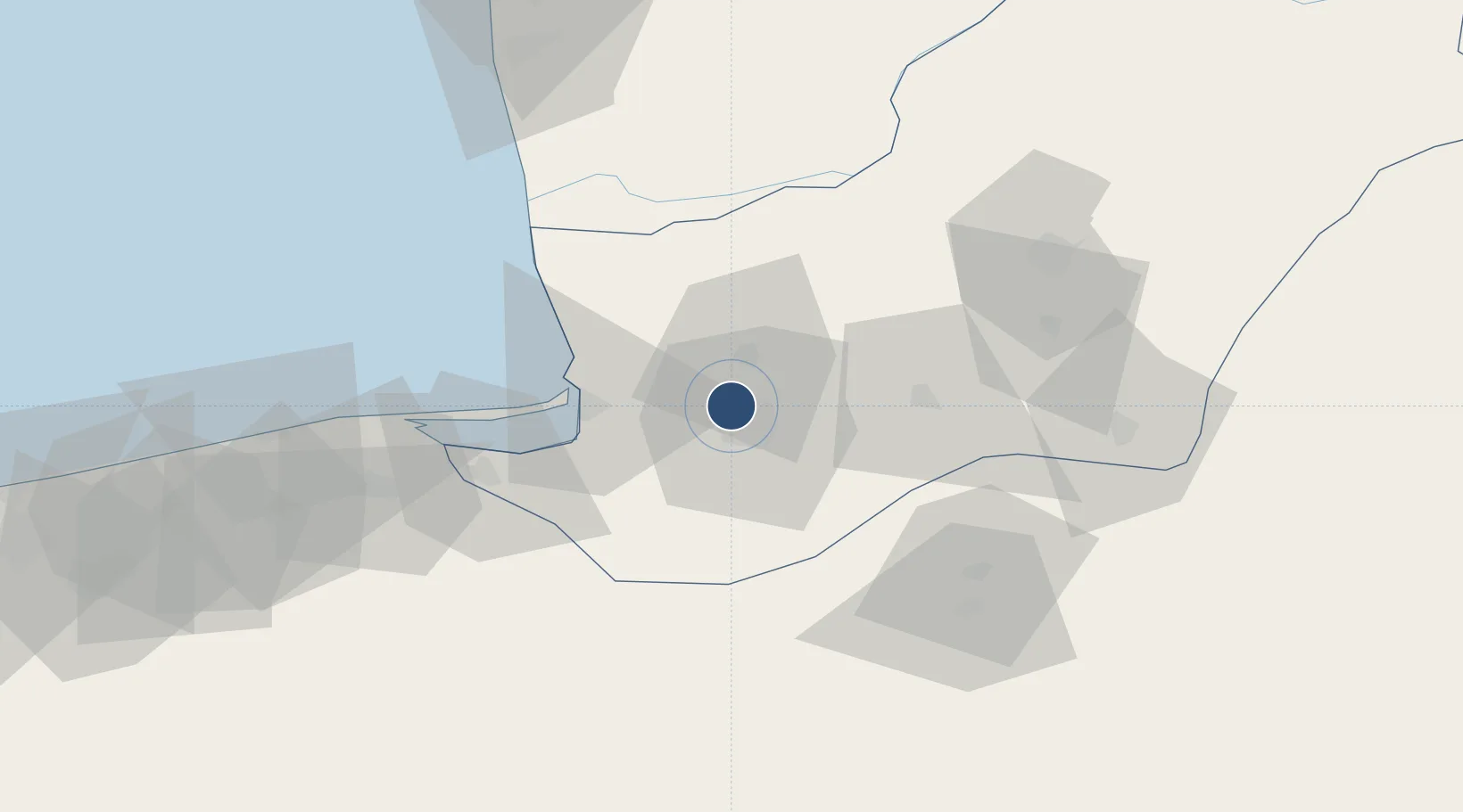
36.9094°, 54.4013°
10,827 ft
Longest runway
1
Runways
-24 ft
Elevation
Runway & Layout

Radio Frequencies
TWR
118.75 MHz
Navaids
GGN VOR-DME Gorgan 117.60 MHz
GGN NDB Gorgan 310 kHz
Runways · 1
| Runway | Dimensions | Surface | True heading | Lit |
|---|---|---|---|---|
| 13/31 | 10,827 × 148ft | Asphalt | 134° | ✓ |
Airport Specifications
IATA code
GBT
ICAO code
OING
Airport class
Medium airport
Scheduled service
No
Runway surface
Asphalt
Served city
Gorgan
Location
Nearby Logistics Neighbours
Airports
- 1Sari Dasht-e Naz International Airport112 km
- 2Semnan Municipal Airport168 km
- 3Nowshahr Airport263 km
- 4Bojnord Airport266 km
- 5Balkanabat Airport286 km
Cities
- 1Bandar-e Gaz43 km
- 2Bandar Neka77 km
- 3Bandar Amirabad95 km
- 4Neka101 km
- 5Freidoon Kenar167 km
Ports
- 1Bandar-E Mahshahr864 km
- 2Bandar Khomeyni872 km
- 3Khorramshahr921 km
- 4Abadan925 km
- 5Kharg Island Oil Terminal934 km
Trade Zones
DatabookThe Record of Consolidated Knowledge
Iran beyond logistics?