Medium airport · Iran
Sari Dasht-e Naz International AirportOINZ
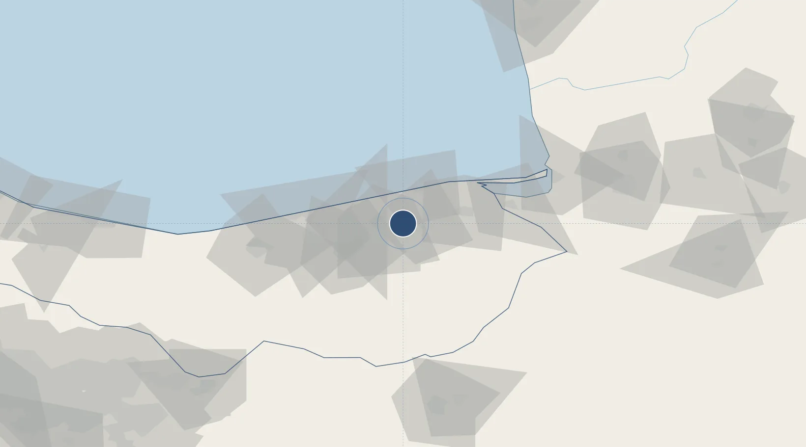
36.6444°, 53.1888°
8,688 ft
Longest runway
1
Runways
35 ft
Elevation
Runway & Layout

Radio Frequencies
ATIS
126.85 MHz
DASHT E NAZ INFO
TWR
118.45 MHz
Navaids
DNZ VOR-DME Dasht-E-Naz 113.10 MHz
DNZ NDB Dasht-E-Naz 362 kHz
Runways · 1
| Runway | Dimensions | Surface | True heading | Lit |
|---|---|---|---|---|
| 16/34 | 8,688 × 148ft | Asphalt | 161° | ✓ |
Airport Specifications
IATA code
SRY
ICAO code
OINZ
Airport class
Medium airport
Scheduled service
Yes
Runway surface
Asphalt
Served city
Sari
Location
Nearby Logistics Neighbours
Airports
- 1Gorgan Airport112 km
- 2Semnan Municipal Airport120 km
- 3Nowshahr Airport154 km
- 4Mehrabad International Airport199 km
- 5Ramsar Airport225 km
Cities
- 1Bandar Amirabad21 km
- 2Neka22 km
- 3Bandar Neka39 km
- 4Freidoon Kenar57 km
- 5Bandar-e Gaz70 km
Ports
- 1Bandar-E Mahshahr781 km
- 2Bandar Khomeyni788 km
- 3Khorramshahr832 km
- 4Abadan836 km
- 5Al Basrah843 km
Trade Zones
- 1Amirabad Port28 km
- 2Damghan Special Economic Zone115 km
- 3Semnan Special Economic Zone120 km
- 4Noshahr Special Economic Zone150 km
- 5Bandar Nowshahr Special Economic Zone150 km
DatabookThe Record of Consolidated Knowledge
Iran beyond logistics?