Industrial Development Zone · Ethiopia

Hawassa Industrial Development Zone Active
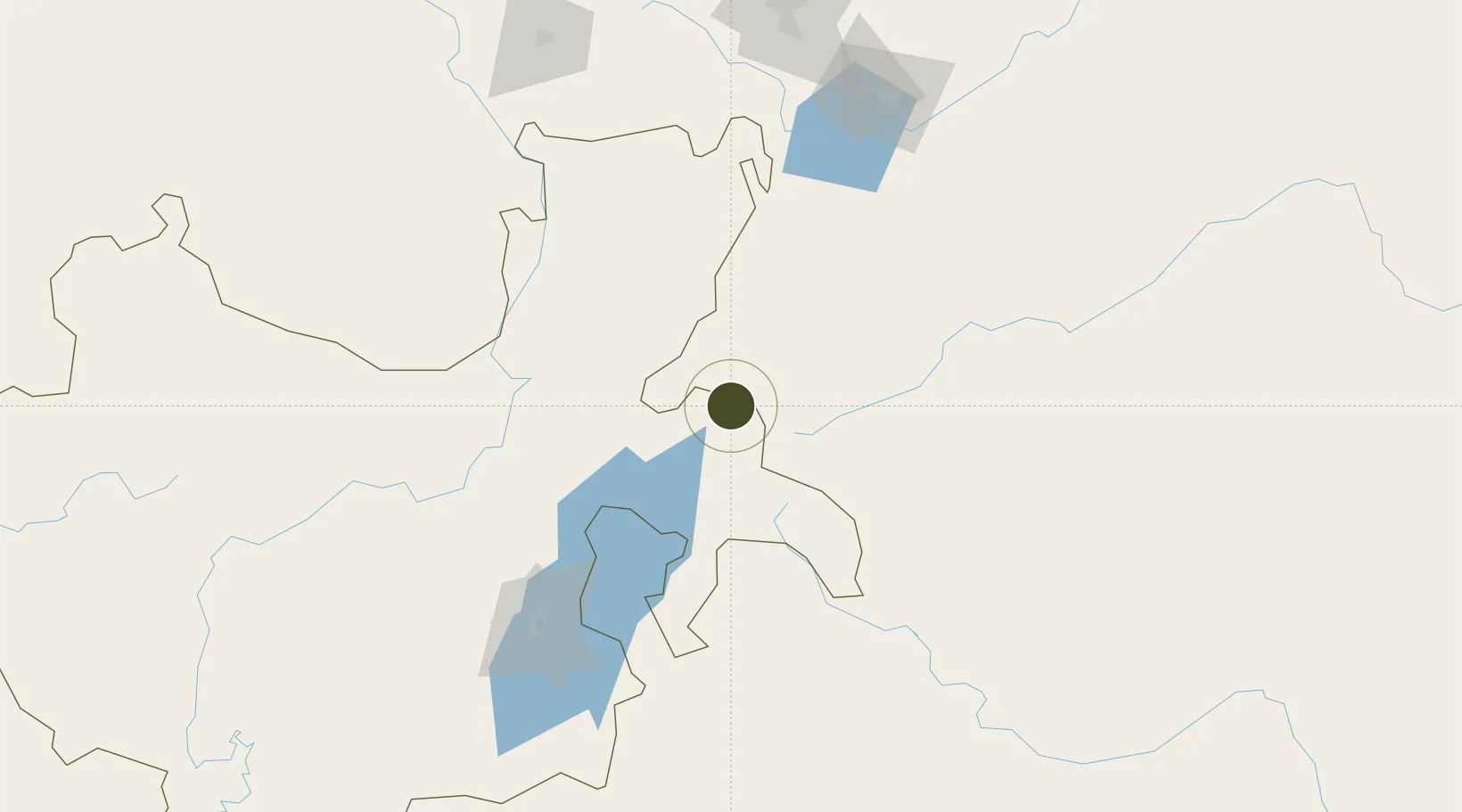
7.0697°, 38.5021°
100 ha
Zone area
712.2 km
Nearest port
12.2 km
Nearest airport

Gateway access

Nearest neighbours — logibook spatial index (haversine) over the source coordinates

Zone profile

Zone type
Industrial Development Zone
the World Bank SEZ database
Region
Southern Nations, Nationalities and Peoples
the World Bank SEZ database
Status
Active
the World Bank SEZ database
Established
2015
the World Bank SEZ database
Management
State-owned enterprise
the World Bank SEZ database
Operator
Industrial Parks Development Corporation
the World Bank SEZ database
Regulatory authority
Ethiopian Investment Commission (EIC)
the World Bank SEZ database
Legal framework
Industrial Parks Proclamation No.886/2015
the World Bank SEZ database

Location

Location of ETH1
Natural Earth 10m (public domain) · Southern Nations, Nationalities and Peoples · ETH1 · 7.07, 38.50GoogleOSMYandex

Fiscal & incentives

Corporate tax
30%
the World Bank SEZ database
Tax relief
100% exempt
the World Bank SEZ database
Relief duration
8 to 10 years
the World Bank SEZ database
VAT
No exemption
the World Bank SEZ database
Import duty (inputs)
100% exempt
the World Bank SEZ database
Import duty (capex)
100% exempt
the World Bank SEZ database
Profit repatriation
No exemption
the World Bank SEZ database
Capital gains
No exemption
the World Bank SEZ database
Withholding tax
No exemption
the World Bank SEZ database
Min. investment
None
the World Bank SEZ database
Min. export
0%
the World Bank SEZ database
Employment incentive
No exemption
the World Bank SEZ database
Developer incentive
Yes
the World Bank SEZ database

Nearby Logistics Neighbours

Ports
  1. 1Doraleh712 km
  2. 2Djibouti715 km
  3. 3Assab807 km
  4. 4Berbera809 km
  5. 5Al Mukha867 km
Nearest neighbours — logibook spatial index (haversine) over the source coordinates
Airports
  1. 1Hawassa International Airport12 km
  2. 2Arba Minch Airport153 km
  3. 3Harar Meda Airport191 km
  4. 4Jimma Airport197 km
  5. 5Addis Ababa Bole International Airport215 km
Nearest neighbours — logibook spatial index (haversine) over the source coordinates
Cities
  1. 1Mojo Dry Port180 km
  2. 2Mojo183 km
  3. 3Kembolcha300 km
  4. 4Dubti591 km
  5. 5Moroto664 km
Nearest neighbours — logibook spatial index (haversine) over the source coordinates
Trade Zones
  1. 1George Shoe Industrial Park182 km
  2. 2Adama Industrial Park183 km
  3. 3Adama Special Economic Zone184 km
  4. 4Eastern Industrial Zone Industrial Development Zone - Dukem195 km
  5. 5Jimma Industrial Park196 km
Nearest neighbours — logibook spatial index (haversine) over the source coordinates
DatabookThe Record of Consolidated Knowledge
Ethiopia beyond logistics?
Browse databook

All Sources

Trade Zonesthe World Bank SEZ database
CC BY 4.0
Portsthe NGA World Port Index
Public domain (US gov)
AirportsOurAirports
Public domain
LocationsUN/LOCODE
UN/LOCODE — free
← Ethiopia trade zones