Export Processing Zone · Ethiopia

Adama Industrial Park Active
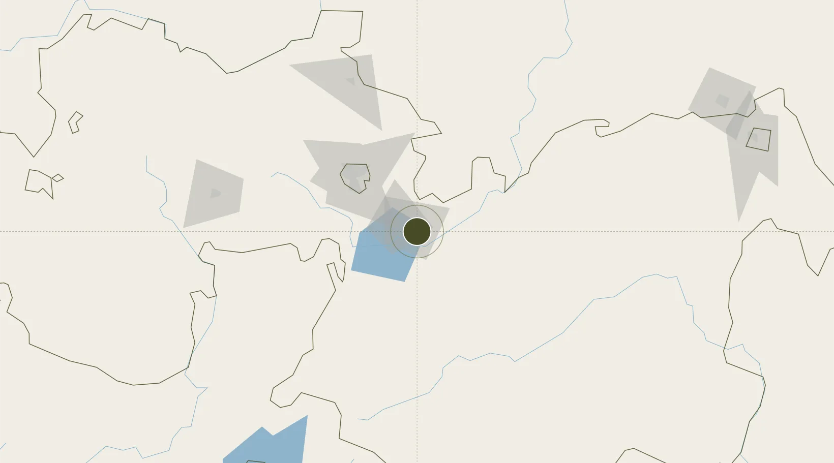
8.5142°, 39.3023°
100 ha
Zone area
538.3 km
Nearest port
39.6 km
Nearest airport

Gateway access

Nearest neighbours — logibook spatial index (haversine) over the source coordinates

Zone profile

Zone type
Export Processing Zone
Open Zone Map
Region
Oromiya
Open Zone Map
Status
Active
Open Zone Map
Management
Public
Open Zone Map
Operator
Ethiopian Investment Commission
Open Zone Map
Legal framework
Regulation No 417/2017 Industrial Parks Council of Ministers Regulation
Open Zone Map

Location

Location of ozm-1911
Natural Earth 10m (public domain) · Oromiya · ozm-1911 · 8.51, 39.30GoogleOSMYandex

Nearby Logistics Neighbours

Ports
  1. 1Doraleh538 km
  2. 2Djibouti542 km
  3. 3Assab625 km
  4. 4Berbera663 km
  5. 5Al Mukha686 km
Nearest neighbours — logibook spatial index (haversine) over the source coordinates
Airports
  1. 1Harar Meda Airport40 km
  2. 2Addis Ababa Bole International Airport76 km
  3. 3Hawassa International Airport186 km
  4. 4Jimma Airport289 km
  5. 5Kombolcha Airport292 km
Nearest neighbours — logibook spatial index (haversine) over the source coordinates
Cities
  1. 1Mojo Dry Port20 km
  2. 2Mojo23 km
  3. 3Kembolcha236 km
  4. 4Dubti408 km
  5. 5Camp Lemonier537 km
Nearest neighbours — logibook spatial index (haversine) over the source coordinates
Trade Zones
  1. 1Adama Special Economic Zone7 km
  2. 2George Shoe Industrial Park24 km
  3. 3CCCC Arerti Industrial Park47 km
  4. 4Arerti Industrial Park47 km
  5. 5Eastern Industrial Zone Industrial Development Zone - Dukem51 km
Nearest neighbours — logibook spatial index (haversine) over the source coordinates
DatabookThe Record of Consolidated Knowledge
Ethiopia beyond logistics?
Browse databook

All Sources

Trade ZonesOpen Zone Map
CC BY
Portsthe NGA World Port Index
Public domain (US gov)
AirportsOurAirports
Public domain
LocationsUN/LOCODE
UN/LOCODE — free
← Ethiopia trade zones