Transport Functions
Rail
Road
Hub Profile
Place type
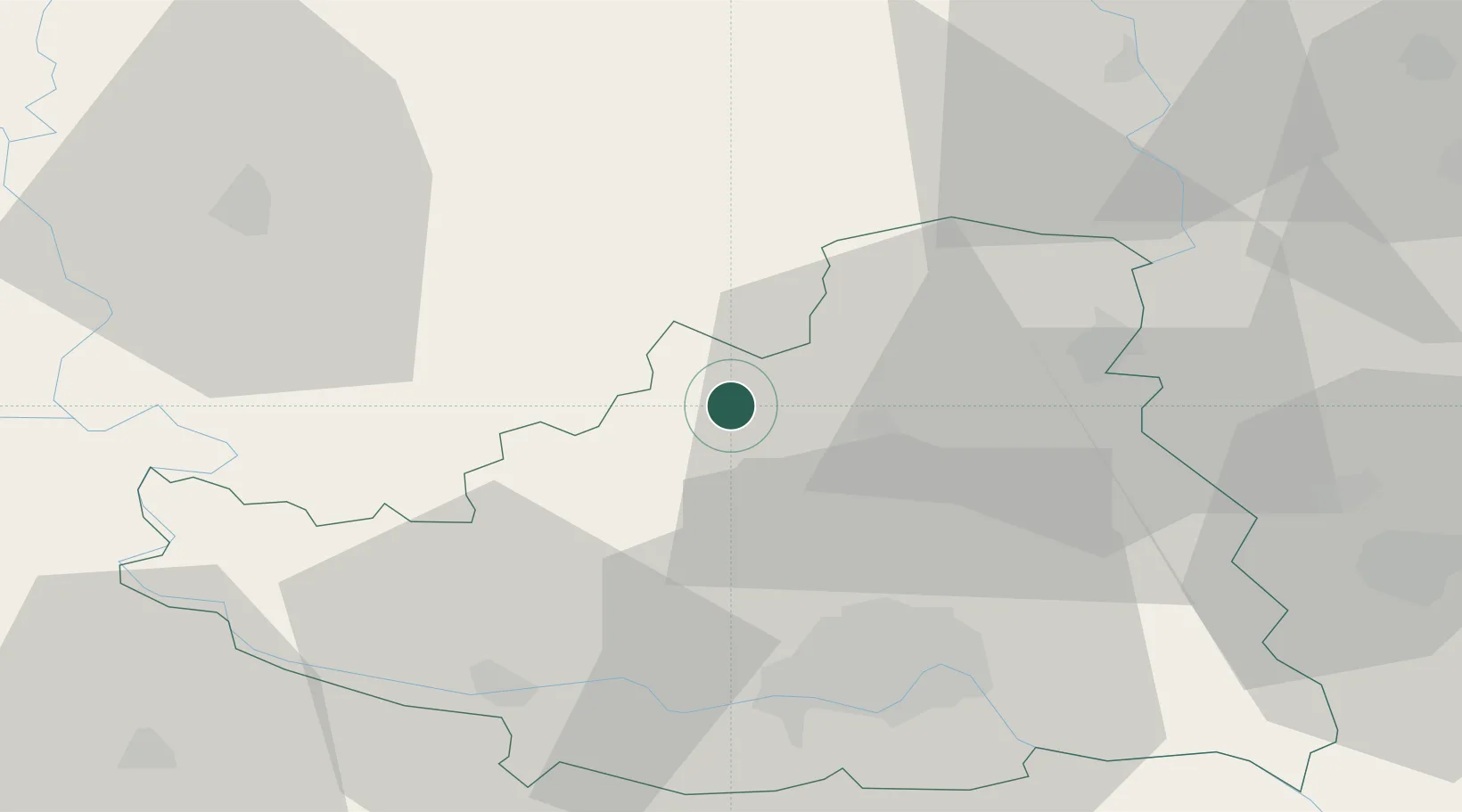
District seat
Region
Vojvodina
Population
25,907
Time zone
Europe/Belgrade
Elevation
85 m
Location
Nearby Logistics Neighbours
Cities
- 1Crvenka18 km
- 2Backi Petrovac25 km
- 3Backa Topola26 km
- 4Becej30 km
- 5Curug34 km
Airports
- 1Osijek Airport66 km
- 2Batajnica Air Base85 km
- 3Belgrade Nikola Tesla Airport98 km
- 4Pécs-Pogány International Airport119 km
- 5Kalocsa-Foktő Airfield122 km
Trade Zones
- 1Novi Sad Free Zone36 km
- 2Apatin Free Zone55 km
- 3Podunavska Gospodarska Zona Vukovar57 km
- 4Subotica Free Zone57 km
- 5Zrenjanin Free Zone61 km
DatabookThe Record of Consolidated Knowledge
Serbia beyond logistics?