Transport Functions
Rail
Road
Hub Profile
Place type
District seat
Region
Vojvodina
Population
16,154
Time zone
Europe/Belgrade
Elevation
94 m
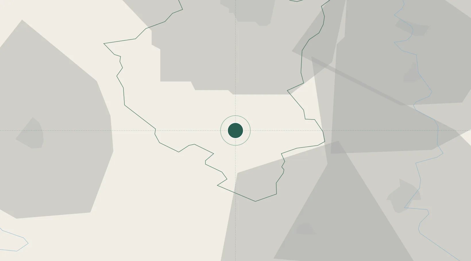
Location
Nearby Logistics Neighbours
Airports
- 1Osijek Airport74 km
- 2Kalocsa-Foktő Airfield99 km
- 3Batajnica Air Base108 km
- 4Pécs-Pogány International Airport110 km
- 5Belgrade Nikola Tesla Airport121 km
Trade Zones
- 1Subotica Free Zone31 km
- 2Apatin Free Zone54 km
- 3Novi Sad Free Zone61 km
- 4Podunavska Gospodarska Zona Vukovar71 km
- 5Zrenjanin Free Zone75 km
DatabookThe Record of Consolidated Knowledge
Serbia beyond logistics?