Export Processing Zone · Croatia

Podunavska Gospodarska Zona Vukovar Inactive
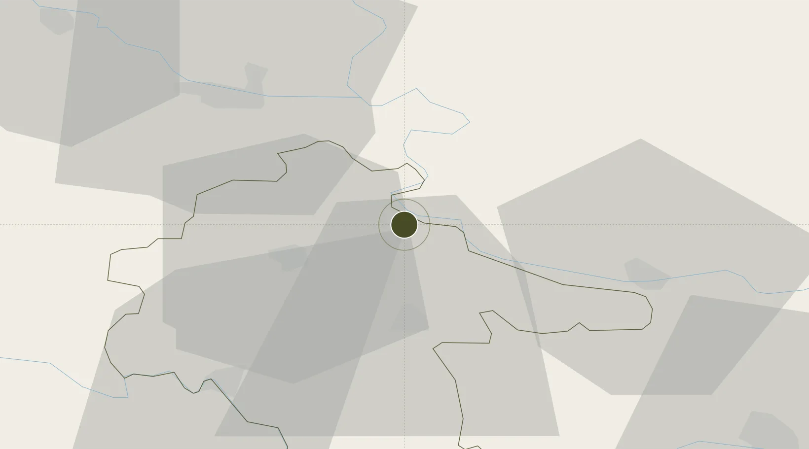
45.3422°, 18.9977°
1 ha
Zone area
281.2 km
Nearest port
19.8 km
Nearest airport

Gateway access

Nearest neighbours — logibook spatial index (haversine) over the source coordinates

Zone profile

Zone type
Export Processing Zone
Open Zone Map
Region
Vukovarsko-Srijemska
Open Zone Map
Status
Inactive
Open Zone Map
Management
Public
Open Zone Map
Operator
Razvojna Agencija Vukovarsko-Srijemske Županije
Open Zone Map
Legal framework
Vukovar Županija Decision 01-96-1030/1 of 1996
Open Zone Map

Location

Location of ozm-1719
Natural Earth 10m (public domain) · Vukovarsko-Srijemska · ozm-1719 · 45.34, 19.00GoogleOSMYandex

Nearby Logistics Neighbours

Ports
  1. 1Dugi Rat281 km
  2. 2Ploce284 km
  3. 3Split289 km
  4. 4Neum292 km
  5. 5Sibenik305 km
Nearest neighbours — logibook spatial index (haversine) over the source coordinates
Airports
  1. 1Osijek Airport20 km
  2. 2Pécs-Pogány International Airport93 km
  3. 3Tuzla International Airport101 km
  4. 4Batajnica Air Base109 km
  5. 5Belgrade Nikola Tesla Airport118 km
Nearest neighbours — logibook spatial index (haversine) over the source coordinates
Cities
  1. 1Vukovar1 km
  2. 2Borovo4 km
  3. 3Borovo Selo8 km
  4. 4Opatovac16 km
  5. 5Dalj16 km
Nearest neighbours — logibook spatial index (haversine) over the source coordinates
Trade Zones
  1. 1Apatin Free Zone38 km
  2. 2Osijek Free Zone43 km
  3. 3Novi Sad Free Zone67 km
  4. 4Duro Daković Free Zone80 km
  5. 5Subotica Free Zone96 km
Nearest neighbours — logibook spatial index (haversine) over the source coordinates
DatabookThe Record of Consolidated Knowledge
Croatia beyond logistics?
Browse databook

All Sources

Trade ZonesOpen Zone Map
CC BY
Portsthe NGA World Port Index
Public domain (US gov)
AirportsOurAirports
Public domain
LocationsUN/LOCODE
UN/LOCODE — free
← Croatia trade zones