Free Trade Zone · Serbia

Subotica Free Zone Active
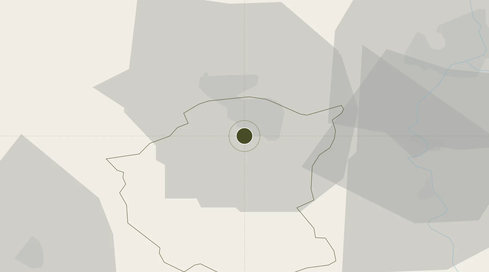
46.0780°, 19.6369°
11 ha
Zone area
375.4 km
Nearest port
75.0 km
Nearest airport

Gateway access

Nearest neighbours — logibook spatial index (haversine) over the source coordinates

Zone profile

Zone type
Free Trade Zone
Open Zone Map
Region
Severno-Backi
Open Zone Map
Status
Active
Open Zone Map
Management
Public-Private Partnership
Open Zone Map
Operator
D.O.O. Za Upravljanje Slobodnom Zonom Subotica
Open Zone Map
Legal framework
Free Zone Law 62/2006
Open Zone Map

Location

Location of ozm-4112
Natural Earth 10m (public domain) · Severno-Backi · ozm-4112 · 46.08, 19.64GoogleOSMYandex

Nearby Logistics Neighbours

Ports
  1. 1Dugi Rat375 km
  2. 2Ploce379 km
  3. 3Split382 km
  4. 4Neum387 km
  5. 5Senj389 km
Nearest neighbours — logibook spatial index (haversine) over the source coordinates
Airports
  1. 1Kalocsa-Foktő Airfield75 km
  2. 2Osijek Airport94 km
  3. 3Kecskemét Air Base94 km
  4. 4Pécs-Pogány International Airport108 km
  5. 5Szolnok Air Base125 km
Nearest neighbours — logibook spatial index (haversine) over the source coordinates
Cities
  1. 1Subotica3 km
  2. 2Palic10 km
  3. 3Cantavir21 km
  4. 4Backa Topola31 km
  5. 5Röszke33 km
Nearest neighbours — logibook spatial index (haversine) over the source coordinates
Trade Zones
  1. 1Apatin Free Zone68 km
  2. 2Novi Sad Free Zone91 km
  3. 3Podunavska Gospodarska Zona Vukovar96 km
  4. 4Zrenjanin Free Zone98 km
  5. 5VGP Park Timisoara123 km
Nearest neighbours — logibook spatial index (haversine) over the source coordinates
DatabookThe Record of Consolidated Knowledge
Serbia beyond logistics?
Browse databook

All Sources

Trade ZonesOpen Zone Map
CC BY
Portsthe NGA World Port Index
Public domain (US gov)
AirportsOurAirports
Public domain
LocationsUN/LOCODE
UN/LOCODE — free
← Serbia trade zones