Free Trade Zone · Serbia

Zrenjanin Free Zone Active
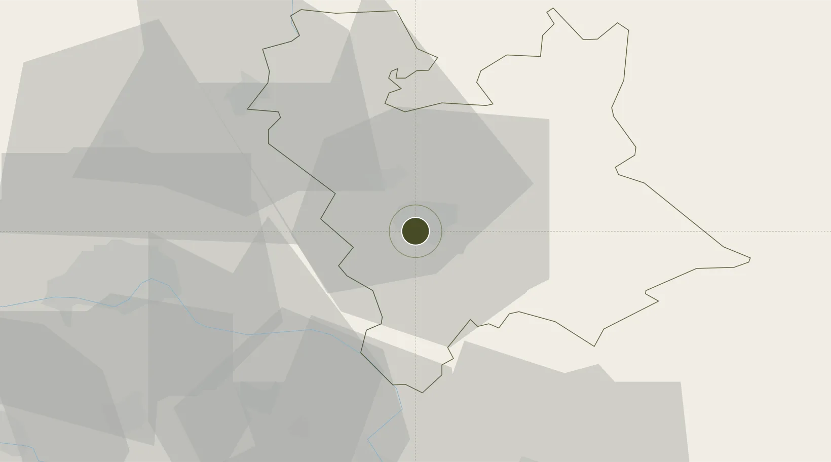
45.3716°, 20.3821°
98 ha
Zone area
344.8 km
Nearest port
49.5 km
Nearest airport

Gateway access

Nearest neighbours — logibook spatial index (haversine) over the source coordinates

Zone profile

Zone type
Free Trade Zone
Open Zone Map
Region
Srednje-Banatski
Open Zone Map
Status
Active
Open Zone Map
Management
Public-Private Partnership
Open Zone Map
Operator
D.O.O. Za Upravljanje Slobodnom Zonom Zrenjanin
Open Zone Map
Legal framework
Free Zone Law 62/2006
Open Zone Map

Location

Location of ozm-4119
Natural Earth 10m (public domain) · Srednje-Banatski · ozm-4119 · 45.37, 20.38GoogleOSMYandex

Nearby Logistics Neighbours

Ports
  1. 1Risan345 km
  2. 2Ploce349 km
  3. 3Neum352 km
  4. 4Dubrovnik353 km
  5. 5Kotor353 km
Nearest neighbours — logibook spatial index (haversine) over the source coordinates
Airports
  1. 1Batajnica Air Base50 km
  2. 2Belgrade Nikola Tesla Airport62 km
  3. 3Timișoara Traian Vuia International Airport89 km
  4. 4Arad International Airport113 km
  5. 5Osijek Airport123 km
Nearest neighbours — logibook spatial index (haversine) over the source coordinates
Cities
  1. 1Zrenjanin2 km
  2. 2Zitiste17 km
  3. 3Curug27 km
  4. 4Becej39 km
  5. 5Sremski Karlovci40 km
Nearest neighbours — logibook spatial index (haversine) over the source coordinates
Trade Zones
  1. 1Novi Sad Free Zone43 km
  2. 2Beograd Free Zone61 km
  3. 3VGP Park Timisoara78 km
  4. 4Smederevo Free Zone89 km
  5. 5Subotica Free Zone98 km
Nearest neighbours — logibook spatial index (haversine) over the source coordinates
DatabookThe Record of Consolidated Knowledge
Serbia beyond logistics?
Browse databook

All Sources

Trade ZonesOpen Zone Map
CC BY
Portsthe NGA World Port Index
Public domain (US gov)
AirportsOurAirports
Public domain
LocationsUN/LOCODE
UN/LOCODE — free
← Serbia trade zones