Medium airport · Hungary

Kalocsa-Foktő AirfieldHU-0002
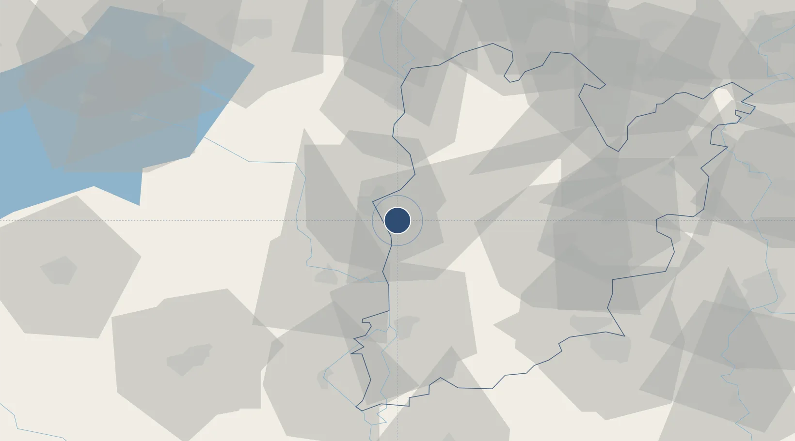
46.5515°, 18.9423°
2,625 ft
Longest runway
1
Runways
299 ft
Elevation

Runway & Layout

Kalocsa-Foktő Airfield runway & taxiway layout
Runway & taxiway layout — OpenStreetMap (ODbL) / OurAirports

Radio Frequencies

CTAF
135.39 MHz
Kalocsa RADIO
OurAirports

Runways · 1

RunwayDimensions SurfaceTrue headingLit
17/35 2,625 × 82ft Concrete
OurAirports

Airport Specifications

ICAO code
LHKA
OurAirports
Airport class
Medium airport
OurAirports
Scheduled service
No
OurAirports
Runway surface
Concrete
OurAirports
Served city
Kalocsa
OurAirports

Location

Location of HU-0002
Natural Earth 10m (public domain) · Bács-Kiskun · HU-0002 · 46.55, 18.94GoogleOSMYandex

Nearby Logistics Neighbours

Airports
  1. 1Kecskemét Air Base74 km
  2. 2Taszár Air Base80 km
  3. 3Pécs-Pogány International Airport83 km
  4. 4Tököl Airport88 km
  5. 5Budapest Liszt Ferenc International Airport101 km
Nearest neighbours — logibook spatial index (haversine) over the source coordinates
Cities
  1. 1Kalocsa6 km
  2. 2Dunapataj8 km
  3. 3Paks10 km
  4. 4Madocsa15 km
  5. 5Harta16 km
Nearest neighbours — logibook spatial index (haversine) over the source coordinates
Ports
  1. 1Senj359 km
  2. 2Bakar368 km
  3. 3Omisalj371 km
  4. 4Rijeka Luka374 km
  5. 5Dugi Rat389 km
Nearest neighbours — logibook spatial index (haversine) over the source coordinates
Trade Zones
  1. 1Subotica Free Zone75 km
  2. 2Apatin Free Zone97 km
  3. 3Göd Special Economic Zone127 km
  4. 4Podunavska Gospodarska Zona Vukovar135 km
  5. 5Osijek Free Zone142 km
Nearest neighbours — logibook spatial index (haversine) over the source coordinates
DatabookThe Record of Consolidated Knowledge
Hungary beyond logistics?
Browse databook

All Sources

AirportsOurAirports
Public domain
Portsthe NGA World Port Index
Public domain (US gov)
LocationsUN/LOCODE
UN/LOCODE — free
Trade Zonesthe World Bank SEZ database
CC BY 4.0
Trade ZonesOpen Zone Map
CC BY
InfrastructureOpenStreetMap
ODbL 1.0
← Hungary airports