Large airport · Hungary
Pécs-Pogány International AirportLHPP
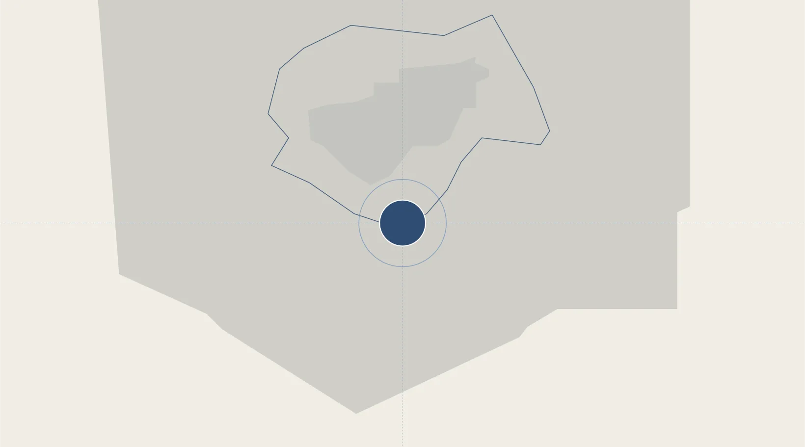
45.9889°, 18.2420°
4,922 ft
Longest runway
1
Runways
651 ft
Elevation
Runway & Layout

Radio Frequencies
AFIS
126.9 MHz
POGANY INFO
Navaids
PP NDB Pecs-Pogany 412 kHz
Runways · 1
| Runway | Dimensions | Surface | True heading | Lit |
|---|---|---|---|---|
| 15/33 | 4,922 × 98ft | Asphalt | 157° | ✓ |
Airport Specifications
IATA code
PEV
ICAO code
LHPP
Airport class
Large airport
Scheduled service
Yes
Runway surface
Asphalt
Served city
Pécs
Location
Nearby Logistics Neighbours
Airports
- 1Taszár Air Base51 km
- 2Osijek Airport73 km
- 3Kalocsa-Foktő Airfield83 km
- 4Hévíz–Balaton Airport114 km
- 5Banja Luka International Airport138 km
Cities
- 1Birjan10 km
- 2Olasz14 km
- 3Szederkeny16 km
- 4Szentlorinc21 km
- 5Villány21 km
Ports
- 1Senj284 km
- 2Bakar298 km
- 3Omisalj300 km
- 4Rijeka Luka305 km
- 5Dugi Rat309 km
Trade Zones
- 1Apatin Free Zone66 km
- 2Osijek Free Zone76 km
- 3Podunavska Gospodarska Zona Vukovar93 km
- 4Duro Daković Free Zone93 km
- 5Subotica Free Zone108 km
DatabookThe Record of Consolidated Knowledge
Hungary beyond logistics?