Medium airport · Serbia

Batajnica Air BaseLYBT
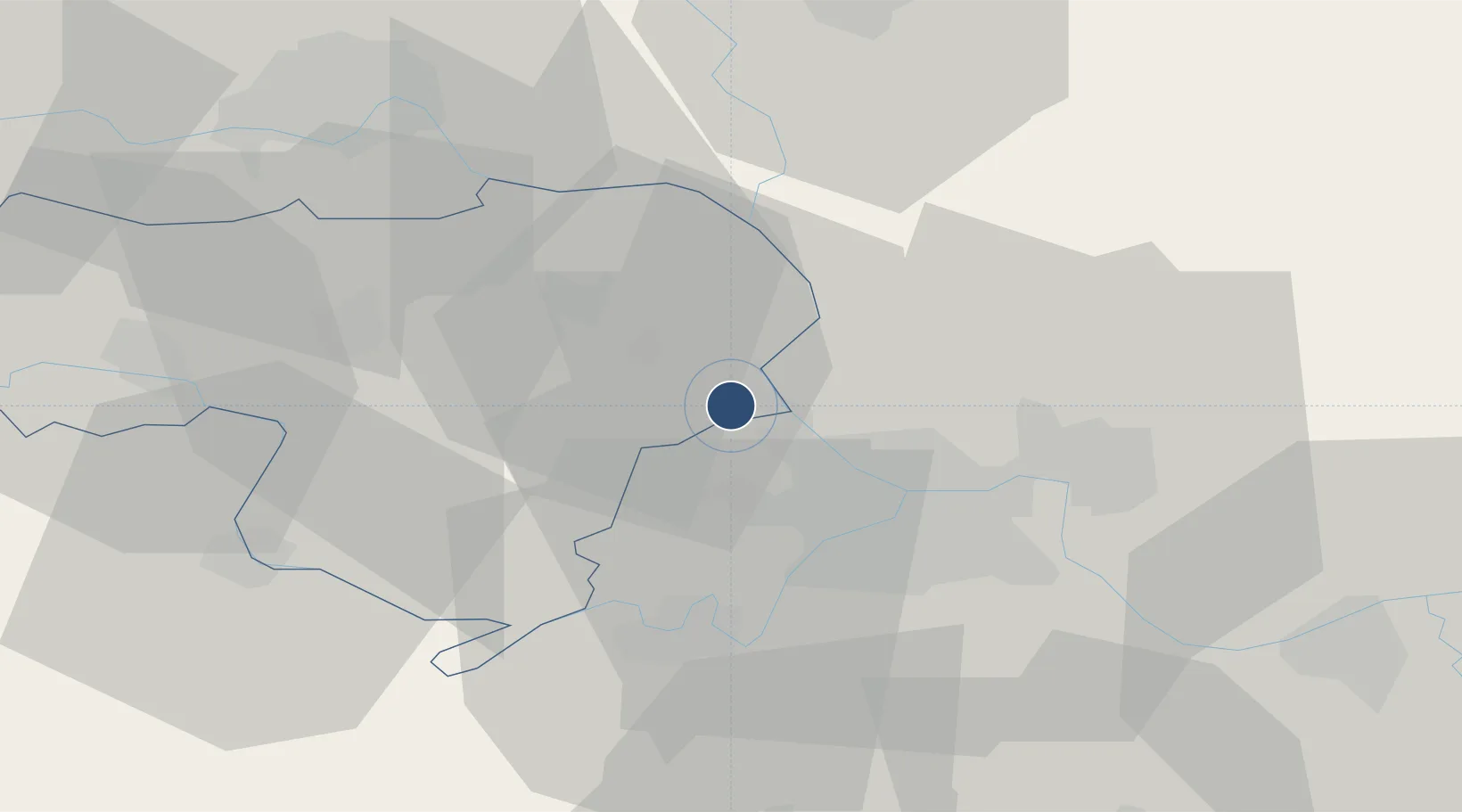
44.9353°, 20.2575°
8,181 ft
Longest runway
2
Runways
265 ft
Elevation

Runway & Layout

Batajnica Air Base runway & taxiway layout
Runway & taxiway layout — OpenStreetMap (ODbL) / OurAirports

Runways · 2

RunwayDimensions SurfaceTrue headingLit
12L/30R 8,181 × 148ft Asphalt 125°
12/30 3,232 × 191ft Grass 125°
OurAirports

Airport Specifications

IATA code
BJY
OurAirports
ICAO code
LYBT
OurAirports
Airport class
Medium airport
OurAirports
Scheduled service
No
OurAirports
Runway surface
Asphalt
OurAirports
Served city
Zemun
OurAirports

Location

Location of LYBT
Natural Earth 10m (public domain) · Sremski · LYBT · 44.94, 20.26GoogleOSMYandex

Nearby Logistics Neighbours

Airports
  1. 1Belgrade Nikola Tesla Airport14 km
  2. 2Ponikve Airport124 km
  3. 3Morava Airport127 km
  4. 4Osijek Airport128 km
  5. 5Timișoara Traian Vuia International Airport129 km
Nearest neighbours — logibook spatial index (haversine) over the source coordinates
Cities
  1. 1Nova Pazova2 km
  2. 2Stara Pazova10 km
  3. 3Dobanovci14 km
  4. 4Belgrade (Beograd)15 km
  5. 5Surcin15 km
Nearest neighbours — logibook spatial index (haversine) over the source coordinates
Ports
  1. 1Risan297 km
  2. 2Kotor305 km
  3. 3Tivat305 km
  4. 4Dubrovnik307 km
  5. 5Ploce308 km
Nearest neighbours — logibook spatial index (haversine) over the source coordinates
Trade Zones
  1. 1Beograd Free Zone22 km
  2. 2Novi Sad Free Zone49 km
  3. 3Zrenjanin Free Zone50 km
  4. 4Smederevo Free Zone61 km
  5. 5ō abac Free Zone86 km
Nearest neighbours — logibook spatial index (haversine) over the source coordinates
DatabookThe Record of Consolidated Knowledge
Serbia beyond logistics?
Browse databook

All Sources

AirportsOurAirports
Public domain
Portsthe NGA World Port Index
Public domain (US gov)
LocationsUN/LOCODE
UN/LOCODE — free
Trade Zonesthe World Bank SEZ database
CC BY 4.0
Trade ZonesOpen Zone Map
CC BY
InfrastructureOpenStreetMap
ODbL 1.0
← Serbia airports