Transport Functions
Multimodal
Hub Profile
Place type
District seat
Region
Vojvodina
Population
7,229
Time zone
Europe/Belgrade
Elevation
83 m
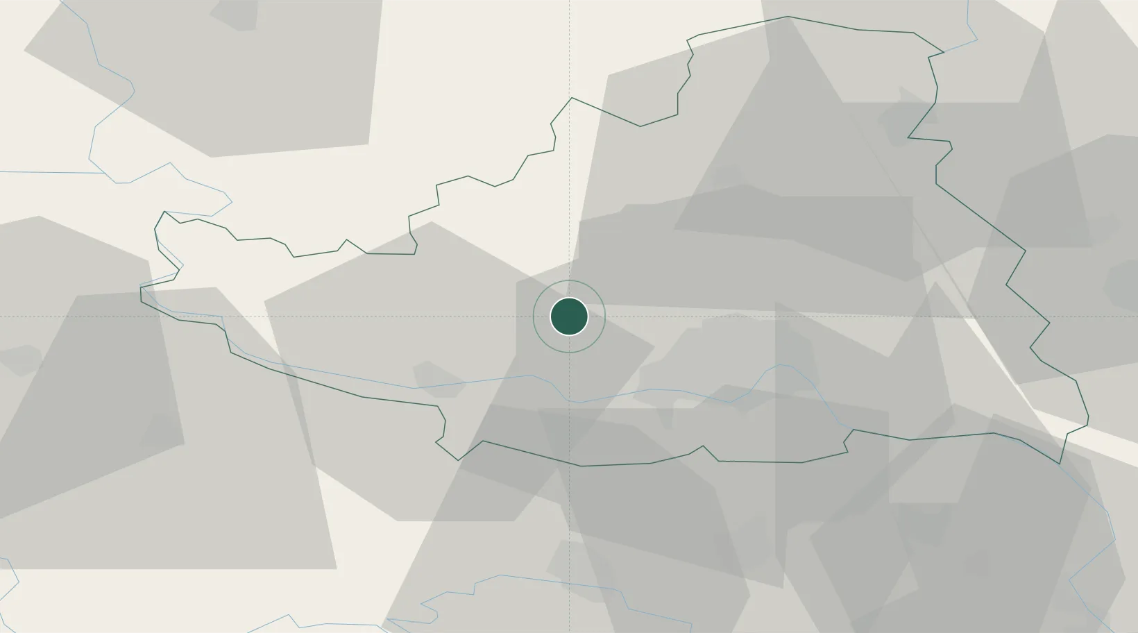
Location
Nearby Logistics Neighbours
Cities
- 1Celarevo11 km
- 2Futog17 km
- 3Veternik17 km
- 4Backa Palanka19 km
- 5Ilok23 km
Airports
- 1Osijek Airport62 km
- 2Batajnica Air Base70 km
- 3Belgrade Nikola Tesla Airport82 km
- 4Tuzla International Airport120 km
- 5Pécs-Pogány International Airport126 km
Trade Zones
- 1Novi Sad Free Zone23 km
- 2Podunavska Gospodarska Zona Vukovar46 km
- 3Apatin Free Zone61 km
- 4Zrenjanin Free Zone63 km
- 5Subotica Free Zone81 km
DatabookThe Record of Consolidated Knowledge
Serbia beyond logistics?