Transport Functions
Rail
Road
Hub Profile
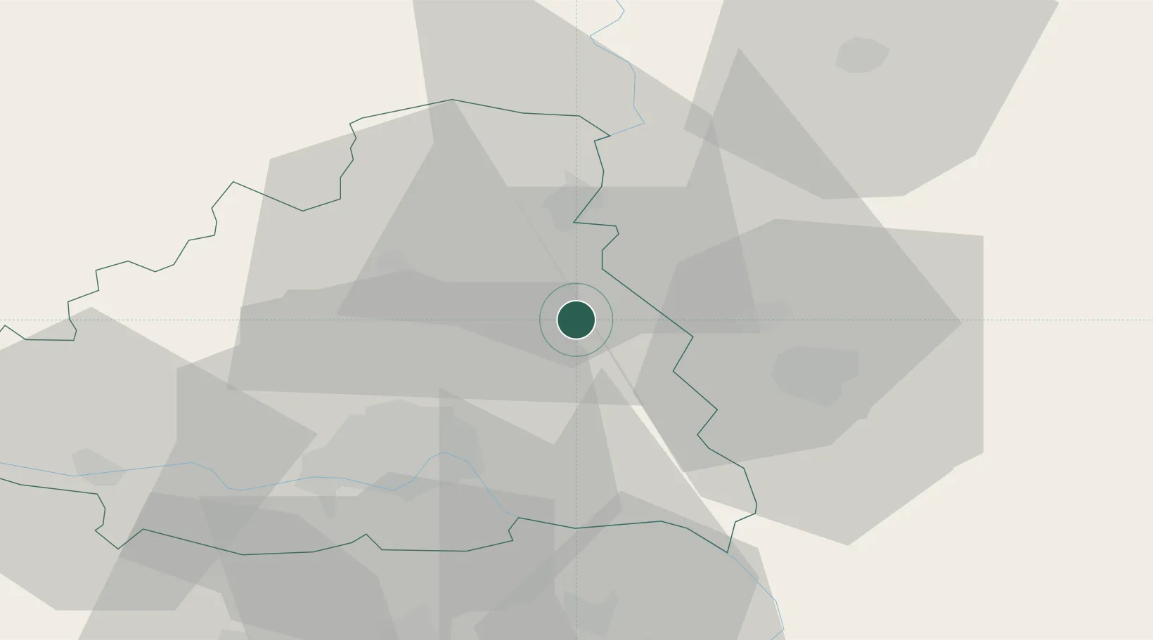
Place type
Populated place
Region
Vojvodina
Population
9,231
Time zone
Europe/Belgrade
Elevation
79 m
Location
Nearby Logistics Neighbours
Cities
- 1Becej17 km
- 2Zrenjanin25 km
- 3Novi Sad28 km
- 4Sremski Karlovci31 km
- 5Vrbas34 km
Airports
Trade Zones
- 1Zrenjanin Free Zone27 km
- 2Novi Sad Free Zone28 km
- 3Subotica Free Zone76 km
- 4Beograd Free Zone78 km
- 5Podunavska Gospodarska Zona Vukovar85 km
DatabookThe Record of Consolidated Knowledge
Serbia beyond logistics?