Transport Functions
Multimodal
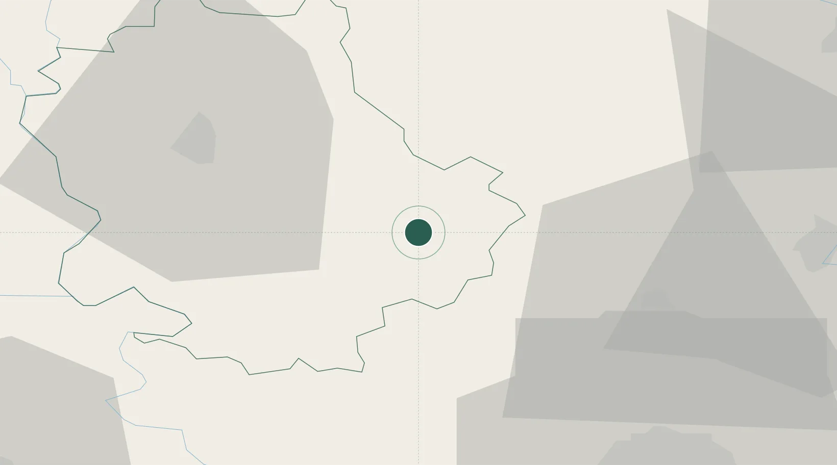
Hub Profile
Place type
Populated place
Region
Vojvodina
Population
8,532
Time zone
Europe/Belgrade
Elevation
83 m
Location
Nearby Logistics Neighbours
Cities
- 1Vrbas18 km
- 2Backa Topola22 km
- 3Bogojevo30 km
- 4Sombor30 km
- 5Erdut33 km
Airports
- 1Osijek Airport54 km
- 2Pécs-Pogány International Airport101 km
- 3Batajnica Air Base102 km
- 4Kalocsa-Foktő Airfield108 km
- 5Belgrade Nikola Tesla Airport114 km
Trade Zones
- 1Apatin Free Zone38 km
- 2Podunavska Gospodarska Zona Vukovar49 km
- 3Subotica Free Zone50 km
- 4Novi Sad Free Zone52 km
- 5Zrenjanin Free Zone79 km
DatabookThe Record of Consolidated Knowledge
Serbia beyond logistics?