Transport Functions
Rail
Road
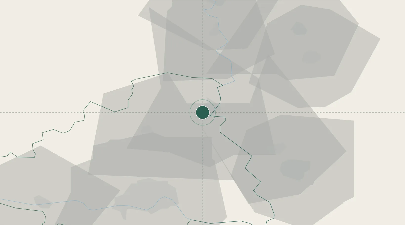
Hub Profile
Place type
District seat
Region
Vojvodina
Population
25,774
Time zone
Europe/Belgrade
Elevation
77 m
Location
Nearby Logistics Neighbours
Airports
Trade Zones
- 1Zrenjanin Free Zone39 km
- 2Novi Sad Free Zone41 km
- 3Subotica Free Zone60 km
- 4Apatin Free Zone83 km
- 5Podunavska Gospodarska Zona Vukovar86 km
DatabookThe Record of Consolidated Knowledge
Serbia beyond logistics?