Large airport · Serbia
Belgrade Nikola Tesla AirportLYBE
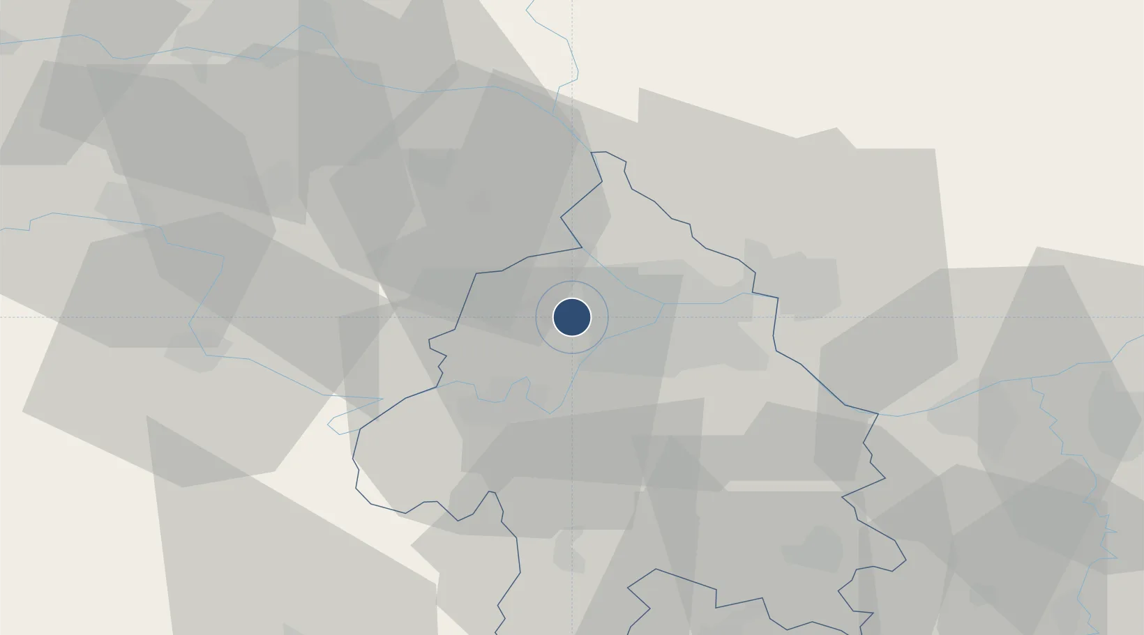
44.8184°, 20.3091°
11,483 ft
Longest runway
2
Runways
335 ft
Elevation
Runway & Layout

Radio Frequencies
ATIS
122.925 MHz
INFO
TWR
118.1 MHz
APP
119.1 MHz
APP
133.1 MHz
Navaids
BGD VOR-DME Beograd 112.05 MHz
JA NDB Beograd 316 kHz
KN NDB Beograd 380 kHz
OBR NDB Beograd 355 kHz
Runways · 2
| Runway | Dimensions | Surface | True heading | Lit |
|---|---|---|---|---|
| 12R/30L | 11,483 × 148ft | ASPH | — | ✓ |
| 12L/30R | 11,155 × 148ft | Asphalt | 122° | ✓ |
Airport Specifications
IATA code
BEG
ICAO code
LYBE
Airport class
Large airport
Scheduled service
Yes
Runway surface
ASPH
Served city
Belgrade
Location
Nearby Logistics Neighbours
Airports
- 1Batajnica Air Base14 km
- 2Ponikve Airport113 km
- 3Morava Airport114 km
- 4Tuzla International Airport132 km
- 5Timișoara Traian Vuia International Airport137 km
Cities
- 1Belgrade (Beograd)3 km
- 2Surcin3 km
- 3Dobanovci7 km
- 4Zemun7 km
- 5Novi Beograd9 km
Trade Zones
- 1Beograd Free Zone14 km
- 2Smederevo Free Zone52 km
- 3Zrenjanin Free Zone62 km
- 4Novi Sad Free Zone62 km
- 5ō abac Free Zone82 km
DatabookThe Record of Consolidated Knowledge
Serbia beyond logistics?