Seaport · Croatia

SplitHRSPU

43.5000°, 16.4333°
12.5 m
Channel depth
12.5
Port liner connectivity
Split is also a UN/LOCODE logistics hub →

Channel & Berth Profile

SEA LEVEL (CD)CHANNEL BEDCargo pier · 6.4 mOil terminal · 6.4 mAnchorage · 11.0 mChannel · 12.5 m
NGA World Port Index

Pilotage, Tugs & Services

Pilotage compulsoryYES
Pilotage availableYES
Tug assistanceYES
Salvage tugsYES
Shore powerNO
Potable waterYES
Diesel bunkersYES
MedicalYES
Garbage disposalYES
NGA World Port Index

Facilities & Capabilities

Container
Ro-Ro
Liquid bulk
Dry bulk
Oil terminal
Break bulk
Dry dockNO
RepairsNO
Bunkering
Rail linkYES
Dangerous cargo
ISPS security
NGA World Port Index

Harbour Specifications

Harbour size
Large
NGA World Port Index
Harbour type
Coastal (Breakwater)
NGA World Port Index
Shelter
Good
NGA World Port Index
Water body
Adriatic Sea; Mediterranean Sea; North Atlantic Ocean
NGA World Port Index
Tidal range
1 m
NGA World Port Index
Pilotage
Yes
NGA World Port Index

Liner Connectivity

12.5
PLSCI

Port Liner Shipping Connectivity Index for Split, as published by UNCTAD for the latest available quarter. Higher values indicate stronger scheduled liner-shipping integration.

Shown relative to the highest per-port PLSCI in the dataset (1,657.9).
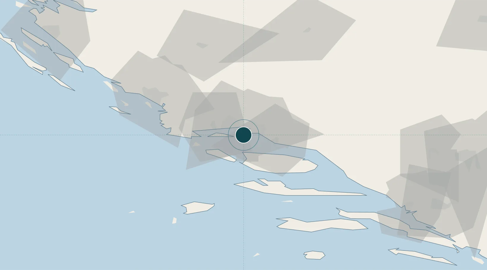
UNCTAD · Port Liner Shipping Connectivity Index

Location

Location of HRSPU
Natural Earth 10m (public domain) · Splitsko-Dalmatinska · HRSPU · 43.50, 16.43GoogleOSMYandex

Nearby Logistics Neighbours

Ports
  1. 1Dugi Rat18 km
  2. 2Sibenik51 km
  3. 3Korcula85 km
  4. 4Ploce95 km
  5. 5Neum115 km
Nearest neighbours — logibook spatial index (haversine) over the source coordinates
Cities
  1. 1Sveti Kajo4 km
  2. 2Vranjic5 km
  3. 3Sucurac6 km
  4. 4Slatine7 km
  5. 5Stobrec7 km
Nearest neighbours — logibook spatial index (haversine) over the source coordinates
Airports
  1. 1Split Saint Jerome Airport12 km
  2. 2Brač Airport31 km
  3. 3Zadar Airport109 km
  4. 4Mostar International Airport117 km
  5. 5Udbina Airfield129 km
Nearest neighbours — logibook spatial index (haversine) over the source coordinates
Trade Zones
  1. 1Port of Split Free Zone2 km
  2. 2Split-Dalmatia Free Zone3 km
  3. 3Port of Ploče Free Zone96 km
  4. 4Free Zone Hercegovina113 km
  5. 5Free Zone Visoko150 km
Nearest neighbours — logibook spatial index (haversine) over the source coordinates
DatabookThe Record of Consolidated Knowledge
Croatia beyond logistics?
Browse databook

All Sources

Portsthe NGA World Port Index
Public domain (US gov)
Logistics performanceUNCTAD
CC BY 3.0 IGO
AirportsOurAirports
Public domain
LocationsUN/LOCODE
UN/LOCODE — free
Trade Zonesthe World Bank SEZ database
CC BY 4.0
Trade ZonesOpen Zone Map
CC BY
← Croatia ports