Free Trade Zone · Serbia

Novi Sad Free Zone Active
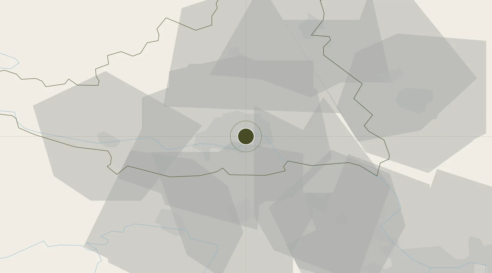
45.2707°, 19.8487°
89 ha
Zone area
313.2 km
Nearest port
49.2 km
Nearest airport

Gateway access

Nearest neighbours — logibook spatial index (haversine) over the source coordinates

Zone profile

Zone type
Free Trade Zone
Open Zone Map
Region
Južno-Backi
Open Zone Map
Status
Active
Open Zone Map
Management
Public-Private Partnership
Open Zone Map
Operator
JS Slobodna Carinska Zona Novi Sad A.D.
Open Zone Map
Legal framework
Free Zone Law 62/2006
Open Zone Map

Location

Location of ozm-4117
Natural Earth 10m (public domain) · Južno-Backi · ozm-4117 · 45.27, 19.85GoogleOSMYandex

Nearby Logistics Neighbours

Ports
  1. 1Ploce313 km
  2. 2Neum317 km
  3. 3Risan320 km
  4. 4Dubrovnik322 km
  5. 5Dugi Rat325 km
Nearest neighbours — logibook spatial index (haversine) over the source coordinates
Airports
  1. 1Batajnica Air Base49 km
  2. 2Belgrade Nikola Tesla Airport62 km
  3. 3Osijek Airport84 km
  4. 4Tuzla International Airport127 km
  5. 5Timișoara Traian Vuia International Airport131 km
Nearest neighbours — logibook spatial index (haversine) over the source coordinates
Cities
  1. 1Novi Sad1 km
  2. 2Veternik8 km
  3. 3Sremski Karlovci10 km
  4. 4Futog11 km
  5. 5Backi Petrovac23 km
Nearest neighbours — logibook spatial index (haversine) over the source coordinates
Trade Zones
  1. 1Zrenjanin Free Zone43 km
  2. 2Podunavska Gospodarska Zona Vukovar67 km
  3. 3Beograd Free Zone70 km
  4. 4Apatin Free Zone83 km
  5. 5Subotica Free Zone91 km
Nearest neighbours — logibook spatial index (haversine) over the source coordinates
DatabookThe Record of Consolidated Knowledge
Serbia beyond logistics?
Browse databook

All Sources

Trade ZonesOpen Zone Map
CC BY
Portsthe NGA World Port Index
Public domain (US gov)
AirportsOurAirports
Public domain
LocationsUN/LOCODE
UN/LOCODE — free
← Serbia trade zones