Transport Functions
Multimodal
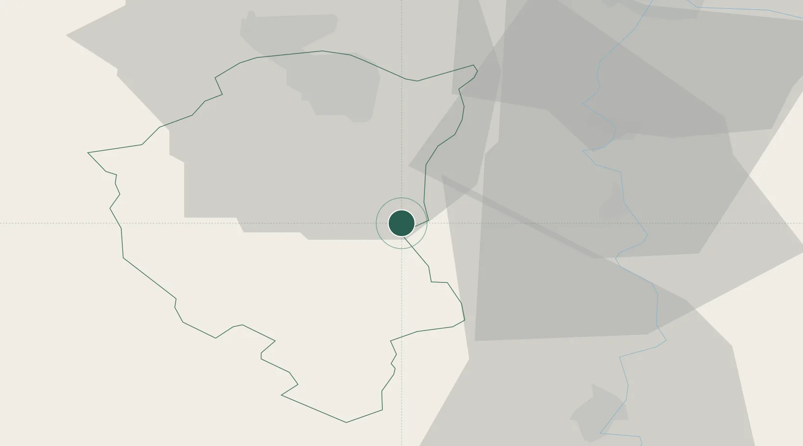
Hub Profile
Place type
Populated place
Region
Vojvodina
Time zone
Europe/Belgrade
Elevation
101 m
Location
Nearby Logistics Neighbours
Cities
- 1Backa Topola17 km
- 2Subotica22 km
- 3Palic22 km
- 4Senta23 km
- 5Ada33 km
Airports
- 1Osijek Airport90 km
- 2Kalocsa-Foktő Airfield95 km
- 3Kecskemét Air Base111 km
- 4Batajnica Air Base116 km
- 5Pécs-Pogány International Airport118 km
Trade Zones
- 1Subotica Free Zone21 km
- 2Apatin Free Zone67 km
- 3Novi Sad Free Zone72 km
- 4Zrenjanin Free Zone77 km
- 5Podunavska Gospodarska Zona Vukovar88 km
DatabookThe Record of Consolidated Knowledge
Serbia beyond logistics?