Transport Functions
Rail
Road
Hub Profile
Place type
District seat
Region
Vojvodina
Time zone
Europe/Belgrade
Elevation
79 m
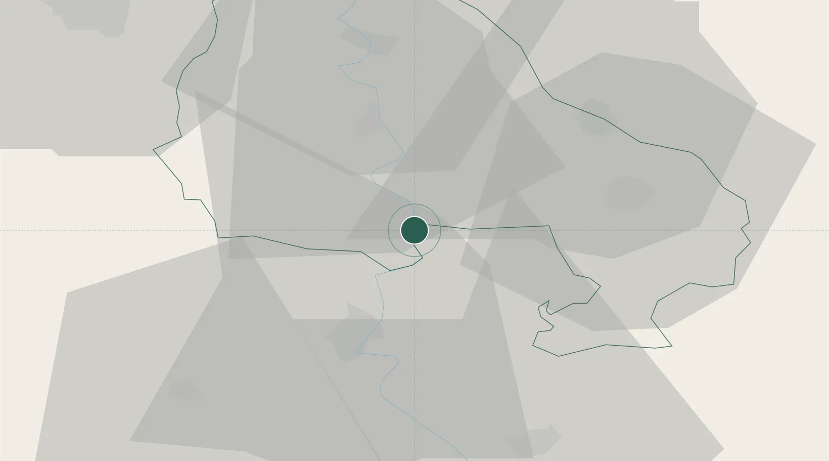
Location
Nearby Logistics Neighbours
Airports
Trade Zones
- 1Zrenjanin Free Zone49 km
- 2Subotica Free Zone52 km
- 3Novi Sad Free Zone62 km
- 4VGP Park Timisoara80 km
- 5Apatin Free Zone93 km
DatabookThe Record of Consolidated Knowledge
Serbia beyond logistics?