Transport Functions
Rail
Road
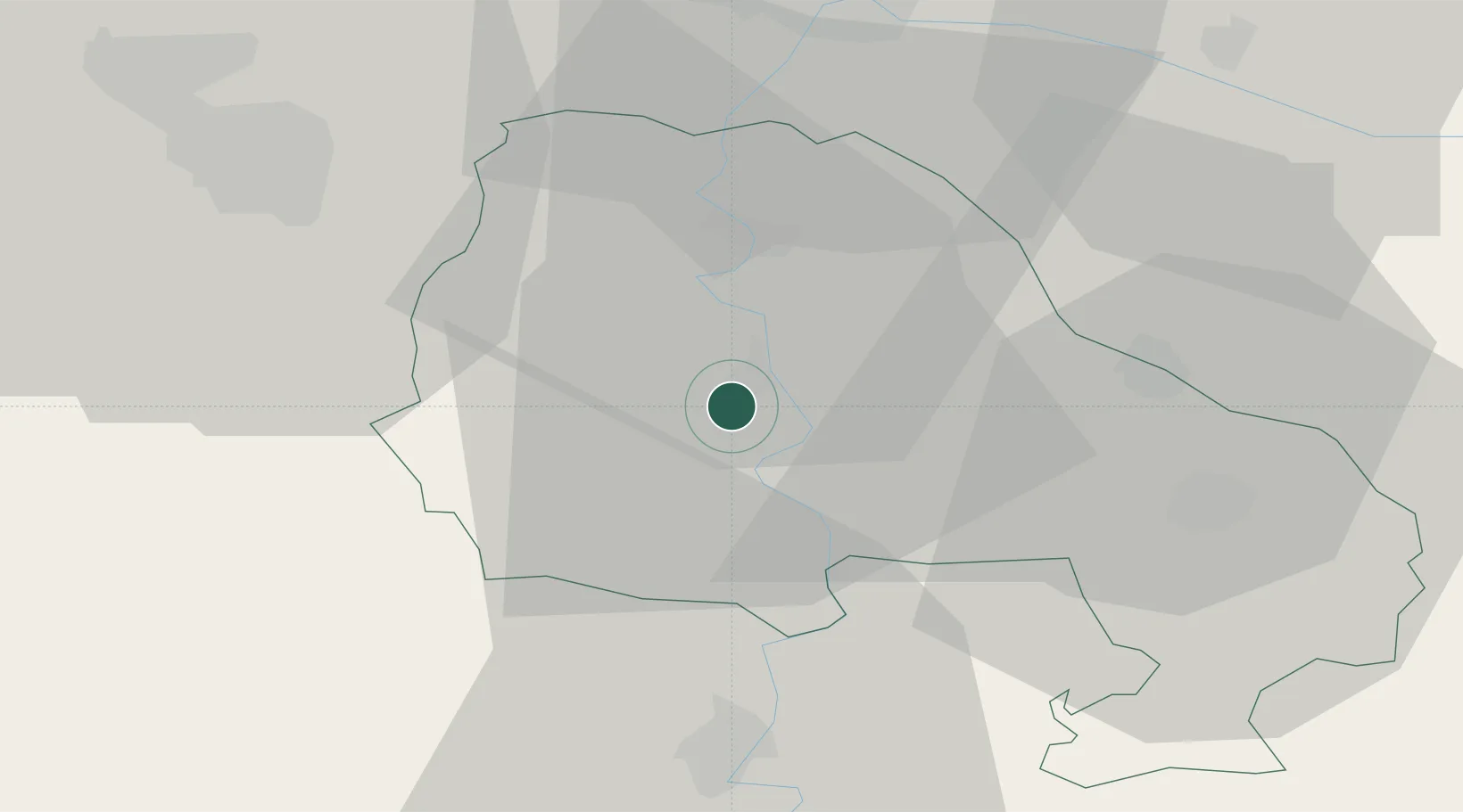
Hub Profile
Place type
District seat
Region
Vojvodina
Population
20,302
Time zone
Europe/Belgrade
Elevation
81 m
Location
Nearby Logistics Neighbours
Airports
- 1Arad International Airport97 km
- 2Timișoara Traian Vuia International Airport99 km
- 3Osijek Airport110 km
- 4Batajnica Air Base110 km
- 5Kalocsa-Foktő Airfield112 km
Trade Zones
- 1Subotica Free Zone38 km
- 2Zrenjanin Free Zone65 km
- 3Novi Sad Free Zone74 km
- 4VGP Park Timisoara87 km
- 5Apatin Free Zone89 km
DatabookThe Record of Consolidated Knowledge
Serbia beyond logistics?