Transport Functions
Rail
Road
Hub Profile
Place type
Provincial seat
Region
Vojvodina
Population
100,000
Time zone
Europe/Belgrade
Elevation
115 m
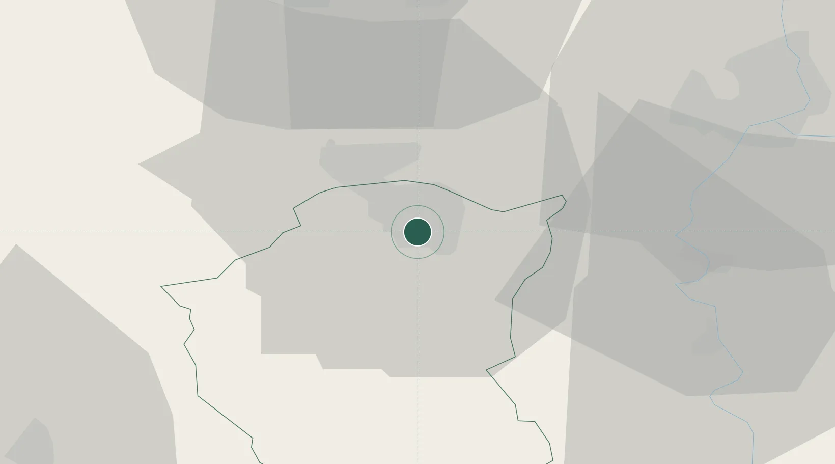
Location
Nearby Logistics Neighbours
Cities
- 1Palic7 km
- 2Cantavir22 km
- 3Röszke30 km
- 4Backa Topola34 km
- 5Zsombo36 km
Airports
- 1Kalocsa-Foktő Airfield75 km
- 2Kecskemét Air Base91 km
- 3Osijek Airport97 km
- 4Pécs-Pogány International Airport111 km
- 5Szolnok Air Base122 km
Trade Zones
- 1Subotica Free Zone3 km
- 2Apatin Free Zone72 km
- 3Novi Sad Free Zone93 km
- 4Zrenjanin Free Zone98 km
- 5Podunavska Gospodarska Zona Vukovar99 km
DatabookThe Record of Consolidated Knowledge
Serbia beyond logistics?