Medium airport · Hungary
Kecskemét Air BaseLHKE
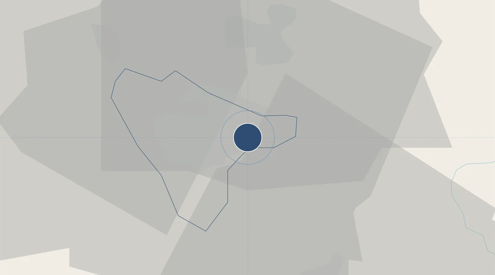
46.9175°, 19.7492°
8,200 ft
Longest runway
1
Runways
376 ft
Elevation
Runway & Layout

Radio Frequencies
TWR
135.75 MHz
APP
120.25 MHz
Navaids
N NDB Titan 440 kHz
NT NDB Titan 313 kHz
T NDB Titan 440 kHz
TN NDB Titan 313 kHz
Runways · 1
| Runway | Dimensions | Surface | True heading | Lit |
|---|---|---|---|---|
| 12/30 | 8,200 × 197ft | Concrete | 123° | ✓ |
Airport Specifications
ICAO code
LHKE
Airport class
Medium airport
Scheduled service
No
Runway surface
Concrete
Served city
Kecskemét
Location
Nearby Logistics Neighbours
Airports
- 1Szolnok Air Base43 km
- 2Budapest Liszt Ferenc International Airport68 km
- 3Kalocsa-Foktő Airfield74 km
- 4Tököl Airport75 km
- 5Arad International Airport142 km
Cities
- 1Kocsér15 km
- 2Kunszallas17 km
- 3Csemo23 km
- 4Tiszakécske27 km
- 5Bokros29 km
Ports
- 1Senj432 km
- 2Bakar440 km
- 3Omisalj443 km
- 4Rijeka Luka446 km
- 5Dugi Rat456 km
Trade Zones
- 1Subotica Free Zone94 km
- 2Göd Special Economic Zone95 km
- 3Free Zone Curtici Arad133 km
- 4VGP Park Arad141 km
- 5Apatin Free Zone150 km
DatabookThe Record of Consolidated Knowledge
Hungary beyond logistics?