Transport Functions
Rail
Road
Hub Profile
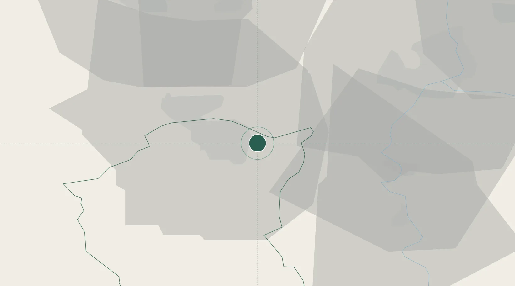
Place type
Populated place
Region
Vojvodina
Population
5,476
Time zone
Europe/Belgrade
Elevation
107 m
Location
Nearby Logistics Neighbours
Airports
- 1Kalocsa-Foktő Airfield79 km
- 2Kecskemét Air Base89 km
- 3Osijek Airport103 km
- 4Arad International Airport117 km
- 5Pécs-Pogány International Airport117 km
Trade Zones
- 1Subotica Free Zone10 km
- 2Apatin Free Zone78 km
- 3Novi Sad Free Zone94 km
- 4Zrenjanin Free Zone96 km
- 5Podunavska Gospodarska Zona Vukovar104 km
DatabookThe Record of Consolidated Knowledge
Serbia beyond logistics?