Seaport · Philippines
Port OzamisPHOZC
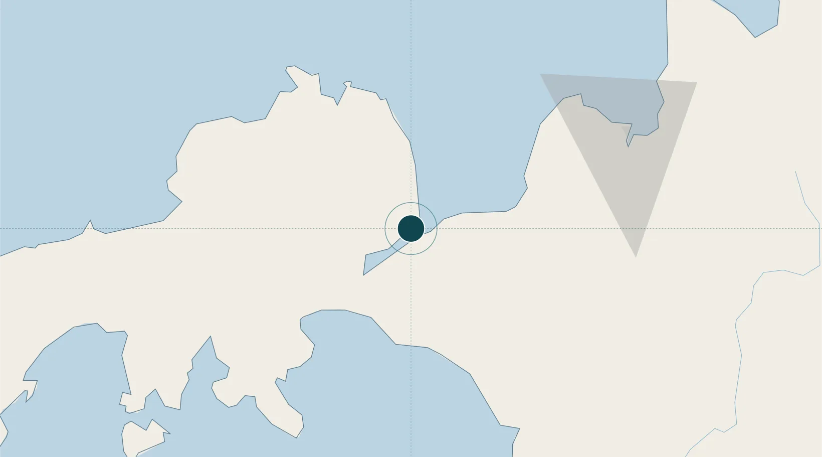
8.1333°, 123.8500°
9.4 m
Channel depth
13.0
Port liner connectivity
Channel & Berth Profile
Pilotage, Tugs & Services
Pilotage availableYES
Local assistanceYES
Tug assistanceYES
Shore powerYES
Potable waterYES
Diesel bunkersYES
MedicalYES
Garbage disposalYES
Facilities & Capabilities
Container—
Ro-Ro—
Liquid bulk—
Dry bulk—
Oil terminal—
Break bulk—
Dry dock—
RepairsNO
BunkeringYES
Rail link—
Dangerous cargo—
ISPS security—
Harbour Specifications
Harbour size
Very Small
Harbour type
Open Roadstead
Shelter
Excellent
Water body
Bohol Sea; Philippine inland seas; North Pacific Ocean
Tidal range
1 m
Liner Connectivity
13
PLSCI
Port Liner Shipping Connectivity Index for Port Ozamis, as published by UNCTAD for the latest available quarter. Higher values indicate stronger scheduled liner-shipping integration.
Shown relative to the highest per-port PLSCI in the dataset (1,657.9).
Location
Nearby Logistics Neighbours
Ports
- 1Jimenez22 km
- 2Iligan44 km
- 3Pagadian57 km
- 4Polloc (Cotabato)96 km
- 5Cagayan De Oro99 km
Cities
- 1Oroquieta39 km
- 2Lugait49 km
- 3Polanco, Mindanao70 km
- 4Opol90 km
- 5Cagayan de Oro, Mindanao105 km
Airports
- 1Labo Airport5 km
- 2Pagadian Airport55 km
- 3Dipolog Airport76 km
- 4Laguindingan International Airport85 km
- 5Cotabato (Awang) Airport115 km
DatabookThe Record of Consolidated Knowledge
Philippines beyond logistics?