Transport Functions
Port
Hub Profile
Region
ZAN
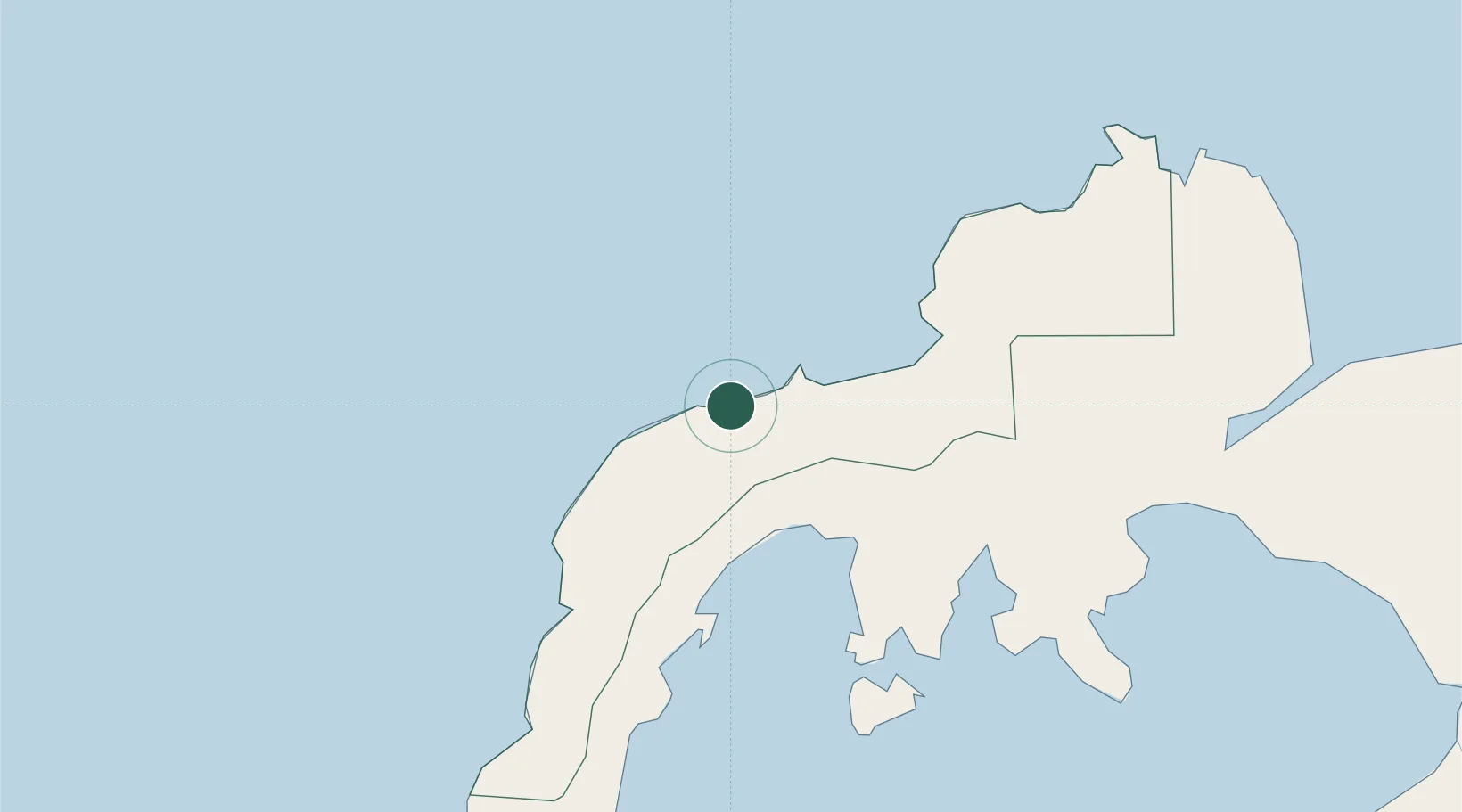
Location
Nearby Logistics Neighbours
Cities
- 1Kabasalan/Zamboanga41 km
- 2Busan Bay54 km
- 3Vitali/Zamboanga82 km
- 4Polanco, Mindanao105 km
- 5Zamboanga138 km
Ports
- 1Pagadian104 km
- 2Zamboanga139 km
- 3Port Ozamis147 km
- 4Jimenez152 km
- 5Basilian City (Isabela)162 km
Airports
- 1Pagadian Airport107 km
- 2Dipolog Airport109 km
- 3Zamboanga International Airport137 km
- 4Labo Airport146 km
- 5Sibulan Airport165 km
DatabookThe Record of Consolidated Knowledge
Philippines beyond logistics?