Medium airport · Philippines

Labo AirportRPMO

8.1785°, 123.8420°
5,720 ft
Longest runway
1
Runways
75 ft
Elevation

Runway & Layout

Labo Airport runway & taxiway layout
Runway & taxiway layout — OpenStreetMap (ODbL) / OurAirports

Navaids

OZ NDB Ozamis 267 kHz
OurAirports

Runways · 1

RunwayDimensions SurfaceTrue headingLit
03/21 5,720 × 148ft Asphalt / concrete 033°
OurAirports

Airport Specifications

IATA code
OZC
OurAirports
ICAO code
RPMO
OurAirports
Airport class
Medium airport
OurAirports
Scheduled service
Yes
OurAirports
Runway surface
Asphalt / concrete
OurAirports
Served city
Ozamiz
OurAirports

Location

Location of RPMO
Natural Earth 10m (public domain) · Misamis Occidental · RPMO · 8.18, 123.84GoogleOSMYandex

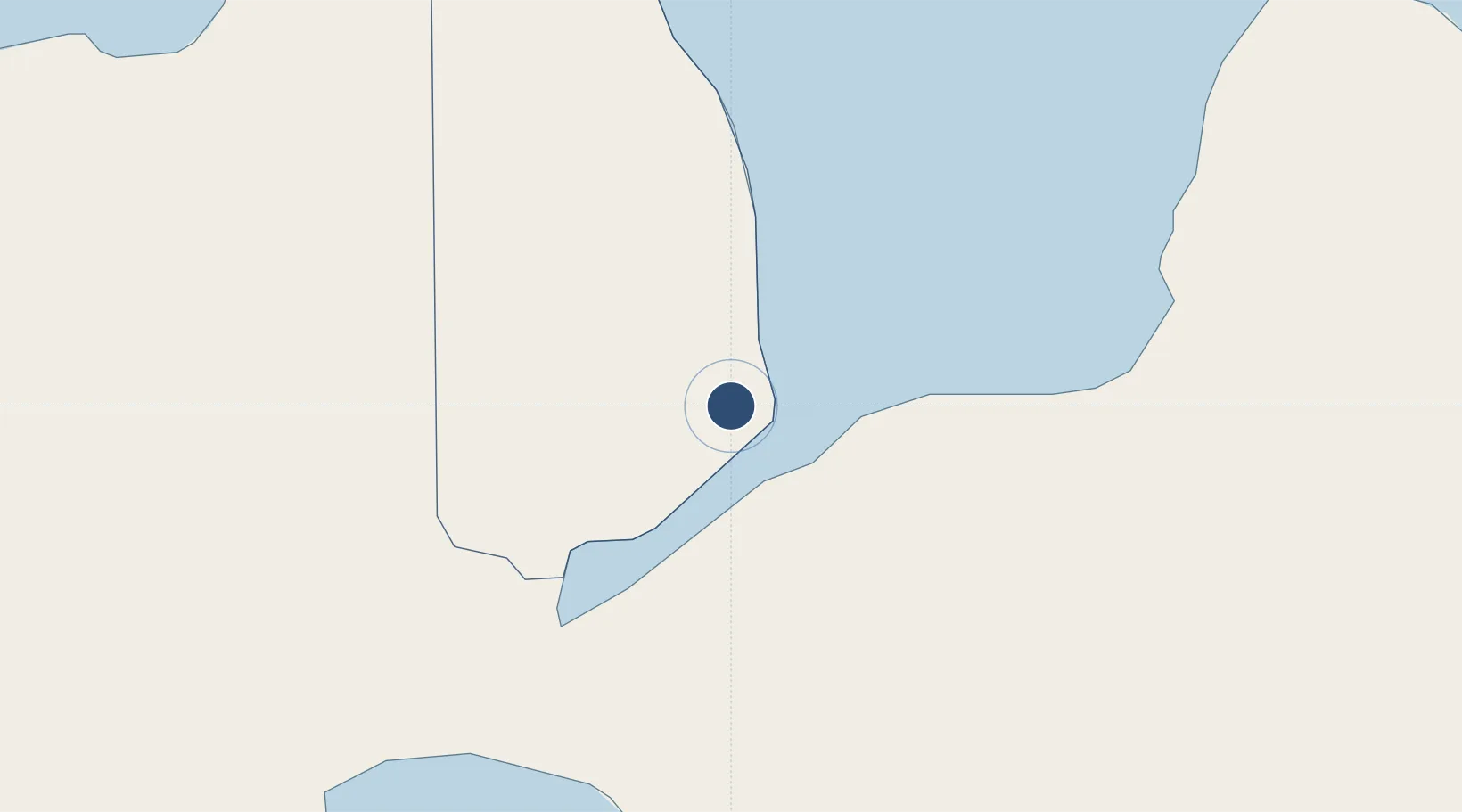
Nearby Logistics Neighbours

Airports
  1. 1Pagadian Airport58 km
  2. 2Dipolog Airport72 km
  3. 3Laguindingan International Airport83 km
  4. 4Cotabato (Awang) Airport120 km
  5. 5Sibulan Airport142 km
Nearest neighbours — logibook spatial index (haversine) over the source coordinates
Cities
  1. 1Oroquieta34 km
  2. 2Lugait48 km
  3. 3Polanco, Mindanao66 km
  4. 4Opol88 km
  5. 5Cagayan de Oro, Mindanao104 km
Nearest neighbours — logibook spatial index (haversine) over the source coordinates
Ports
  1. 1Port Ozamis5 km
  2. 2Jimenez17 km
  3. 3Iligan44 km
  4. 4Pagadian59 km
  5. 5Cagayan De Oro98 km
Nearest neighbours — logibook spatial index (haversine) over the source coordinates
Trade Zones
  1. 1NUIVI IALT Ecozone20 km
  2. 2Misamis Occidental-Oroquieta City Economic Zone31 km
  3. 3Balo-I Agro-Industrial Economic Zone34 km
  4. 4Ororama Megacenter IT Center40 km
  5. 5Irasan-Roxas Zanorte Special Economic Zone78 km
Nearest neighbours — logibook spatial index (haversine) over the source coordinates
DatabookThe Record of Consolidated Knowledge
Philippines beyond logistics?
Browse databook

All Sources

AirportsOurAirports
Public domain
Portsthe NGA World Port Index
Public domain (US gov)
LocationsUN/LOCODE
UN/LOCODE — free
Trade Zonesthe World Bank SEZ database
CC BY 4.0
Trade ZonesOpen Zone Map
CC BY
InfrastructureOpenStreetMap
ODbL 1.0
← Philippines airports