Transport Functions
Port
Hub Profile
Place type
Populated place
Region
Eastern Visayas
Time zone
Asia/Manila
Elevation
3 m
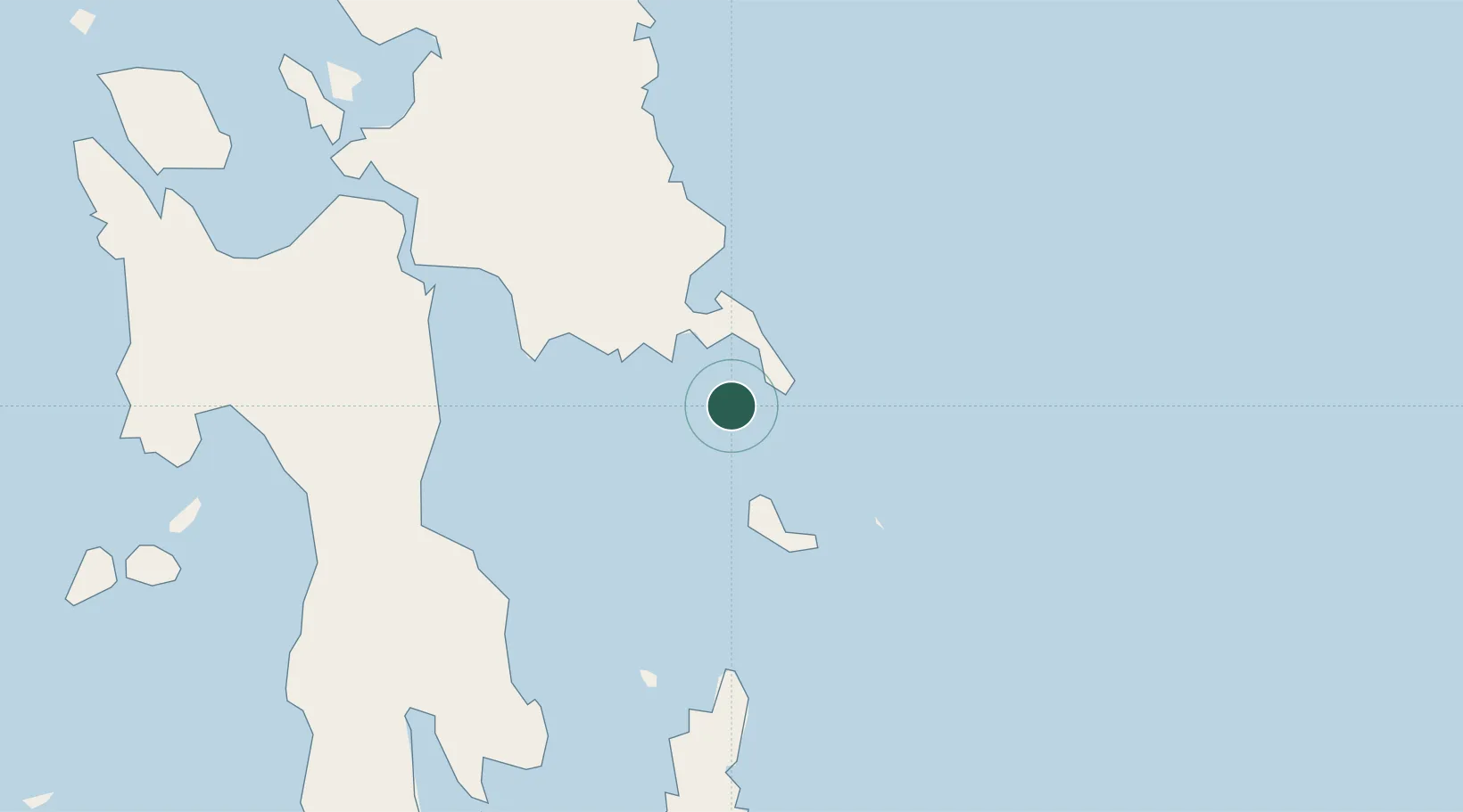
Location
Nearby Logistics Neighbours
Ports
- 1Guiuan8 km
- 2Tanauan70 km
- 3Port Borongan71 km
- 4Tacloban76 km
- 5Baybay99 km
Airports
- 1Daniel Z. Romualdez Airport73 km
- 2Ormoc Airport119 km
- 3Siargao Airport133 km
- 4Surigao Airport140 km
- 5Calbayog Airport170 km
DatabookThe Record of Consolidated Knowledge
Philippines beyond logistics?