Transport Functions
Multimodal
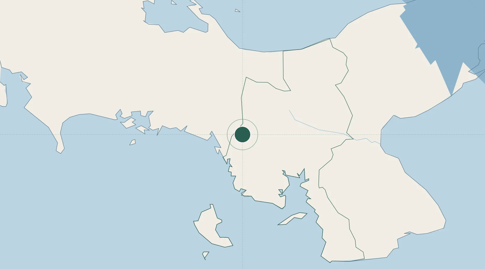
Hub Profile
Place type
Populated place
Region
Ngöbe-Buglé Comarca
Time zone
America/Panama
Elevation
391 m
Location
Nearby Logistics Neighbours
Cities
- 1Río Grande53 km
- 2El Alto64 km
- 3Boca Chica77 km
- 4Cañazas90 km
- 5Gualaca95 km
Ports
- 1Pedregal103 km
- 2Chiriqui Grande109 km
- 3Punta Rincon130 km
- 4Puerto Armuelles147 km
- 5Charco Azul149 km
Airports
Trade Zones
DatabookThe Record of Consolidated Knowledge
Panama beyond logistics?