Seaport · Panama

Punta RinconPAPRI

9.0167°, -80.7000°

Channel & Berth Profile

NGA World Port Index

Facilities & Capabilities

ContainerYES
Ro-Ro
Liquid bulk
Dry bulkYES
Oil terminal
Break bulkYES
Dry dock
Repairs
Bunkering
Rail link
Dangerous cargo
ISPS security
NGA World Port Index

Harbour Specifications
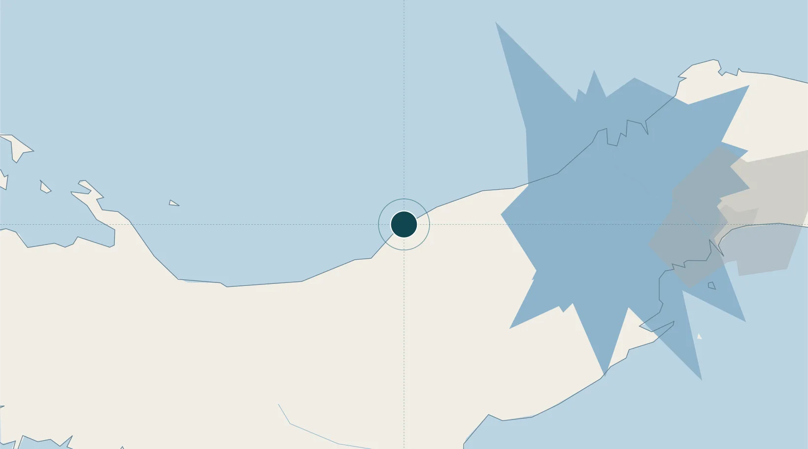
Water body
Caribbean Sea; North Atlantic Ocean
NGA World Port Index

Location

Location of PAPRI
Natural Earth 10m (public domain) · Coclé · PAPRI · 9.02, -80.70GoogleOSMYandex

Nearby Logistics Neighbours

Ports
  1. 1Puerto Cristobal94 km
  2. 2Puerto Colon98 km
  3. 3Bahia De Las Minas106 km
  4. 4Vacamonte115 km
  5. 5Balboa125 km
Nearest neighbours — logibook spatial index (haversine) over the source coordinates
Cities
  1. 1El Alto68 km
  2. 2Río Grande71 km
  3. 3Finca Santa Mónica91 km
  4. 4La Zanguenga92 km
  5. 5Cristóbal95 km
Nearest neighbours — logibook spatial index (haversine) over the source coordinates
Airports
  1. 1Scarlett Martinez International Airport95 km
  2. 2Enrique Adolfo Jimenez Airport99 km
  3. 3Ruben Cantu Airport107 km
  4. 4Alonso Valderrama Airport119 km
  5. 5Panamá Pacífico International Airport121 km
Nearest neighbours — logibook spatial index (haversine) over the source coordinates
Trade Zones
  1. 1Colón Free Zone96 km
  2. 2Zona Franca Isla Margarita98 km
  3. 3Zona Franca Cobol Due121 km
  4. 4City of Knowledge (Ciudad del Saber)122 km
  5. 5Zona Franca de Chilibre123 km
Nearest neighbours — logibook spatial index (haversine) over the source coordinates
DatabookThe Record of Consolidated Knowledge
Panama beyond logistics?
Browse databook

All Sources

Portsthe NGA World Port Index
Public domain (US gov)
AirportsOurAirports
Public domain
LocationsUN/LOCODE
UN/LOCODE — free
Trade Zonesthe World Bank SEZ database
CC BY 4.0
Trade ZonesOpen Zone Map
CC BY
← Panama ports