Export Processing Zone · Panama

Zona Franca Isla Margarita Active
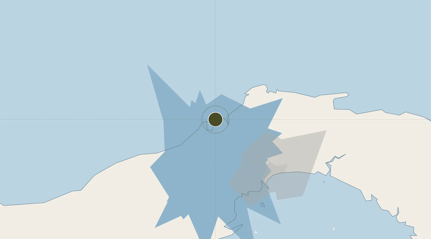
9.3855°, -79.8852°
8 ha
Zone area
2.1 km
Nearest port
3.8 km
Nearest airport

Gateway access

Nearest neighbours — logibook spatial index (haversine) over the source coordinates

Zone profile

Zone type
Export Processing Zone
Open Zone Map
Region
Colón
Open Zone Map
Status
Active
Open Zone Map
Management
Private
Open Zone Map
Operator
Isla Margarita Development, Inc.
Open Zone Map
Legal framework
Law No. 19 of 2001, Law 120 of 2013, and Law No. 8 of April 4, 2016
Open Zone Map

Location

Location of ozm-3065
Natural Earth 10m (public domain) · Colón · ozm-3065 · 9.39, -79.89GoogleOSMYandex

Nearby Logistics Neighbours

Ports
  1. 1Puerto Colon2 km
  2. 2Puerto Cristobal5 km
  3. 3Bahia De Las Minas8 km
  4. 4Balboa60 km
  5. 5Vacamonte63 km
Nearest neighbours — logibook spatial index (haversine) over the source coordinates
Airports
  1. 1Enrique Adolfo Jimenez Airport4 km
  2. 2Marcos A. Gelabert International Airport58 km
  3. 3Panamá Pacífico International Airport61 km
  4. 4Tocumen International Airport65 km
  5. 5Scarlett Martinez International Airport115 km
Nearest neighbours — logibook spatial index (haversine) over the source coordinates
Cities
  1. 1Colón2 km
  2. 2Manzanillo3 km
  3. 3Cristóbal4 km
  4. 4Bahía Las Minas6 km
  5. 5Portobelo32 km
Nearest neighbours — logibook spatial index (haversine) over the source coordinates
Trade Zones
  1. 1Colón Free Zone4 km
  2. 2Zona Franca de Chilibre41 km
  3. 3City of Knowledge (Ciudad del Saber)54 km
  4. 4Zona Franca Panexport56 km
  5. 5Zona Franca de Hewlett Packard56 km
Nearest neighbours — logibook spatial index (haversine) over the source coordinates
DatabookThe Record of Consolidated Knowledge
Panama beyond logistics?
Browse databook

All Sources

Trade ZonesOpen Zone Map
CC BY
Portsthe NGA World Port Index
Public domain (US gov)
AirportsOurAirports
Public domain
LocationsUN/LOCODE
UN/LOCODE — free
← Panama trade zones