Transport Functions
Port
Road
Hub Profile
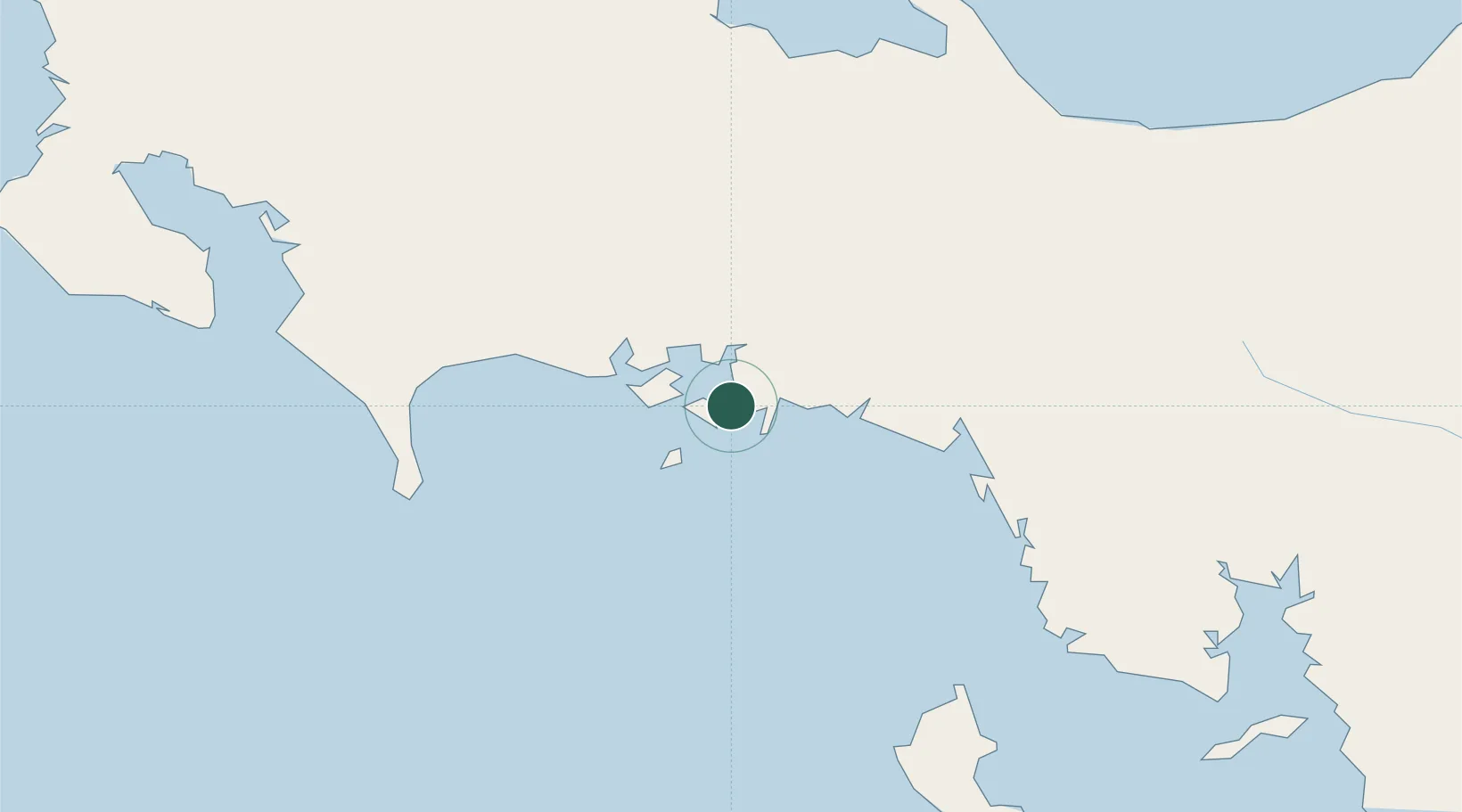
Place type
District seat
Region
Chiriquí Province
Population
215
Time zone
America/Panama
Elevation
17 m
Location
Nearby Logistics Neighbours
Ports
- 1Pedregal28 km
- 2Puerto Armuelles70 km
- 3Charco Azul72 km
- 4Chiriqui Grande82 km
- 5Golfito114 km
Airports
- 1Enrique Malek International Airport31 km
- 2Pixvae Airstrip83 km
- 3Coto 47 Airport93 km
- 4Golfito Airport117 km
- 5Puerto Jimenez Airport124 km
Trade Zones
DatabookThe Record of Consolidated Knowledge
Panama beyond logistics?