Transport Functions
Port
Road
Multimodal
Hub Profile
Place type
Populated place
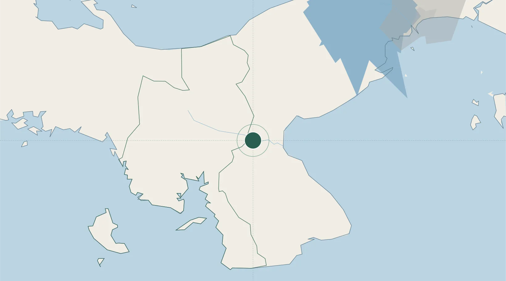
Region
Veraguas Province
Time zone
America/Panama
Elevation
71 m
Location
Nearby Logistics Neighbours
Cities
- 1Potuga12 km
- 2Pesé28 km
- 3Herrera34 km
- 4Chitre35 km
- 5Los Santos38 km
Ports
- 1Punta Rincon98 km
- 2Vacamonte140 km
- 3Balboa154 km
- 4Puerto Cristobal160 km
- 5Puerto Colon164 km
Airports
Trade Zones
DatabookThe Record of Consolidated Knowledge
Panama beyond logistics?