Medium airport · Panama

Ruben Cantu AirportMPSA
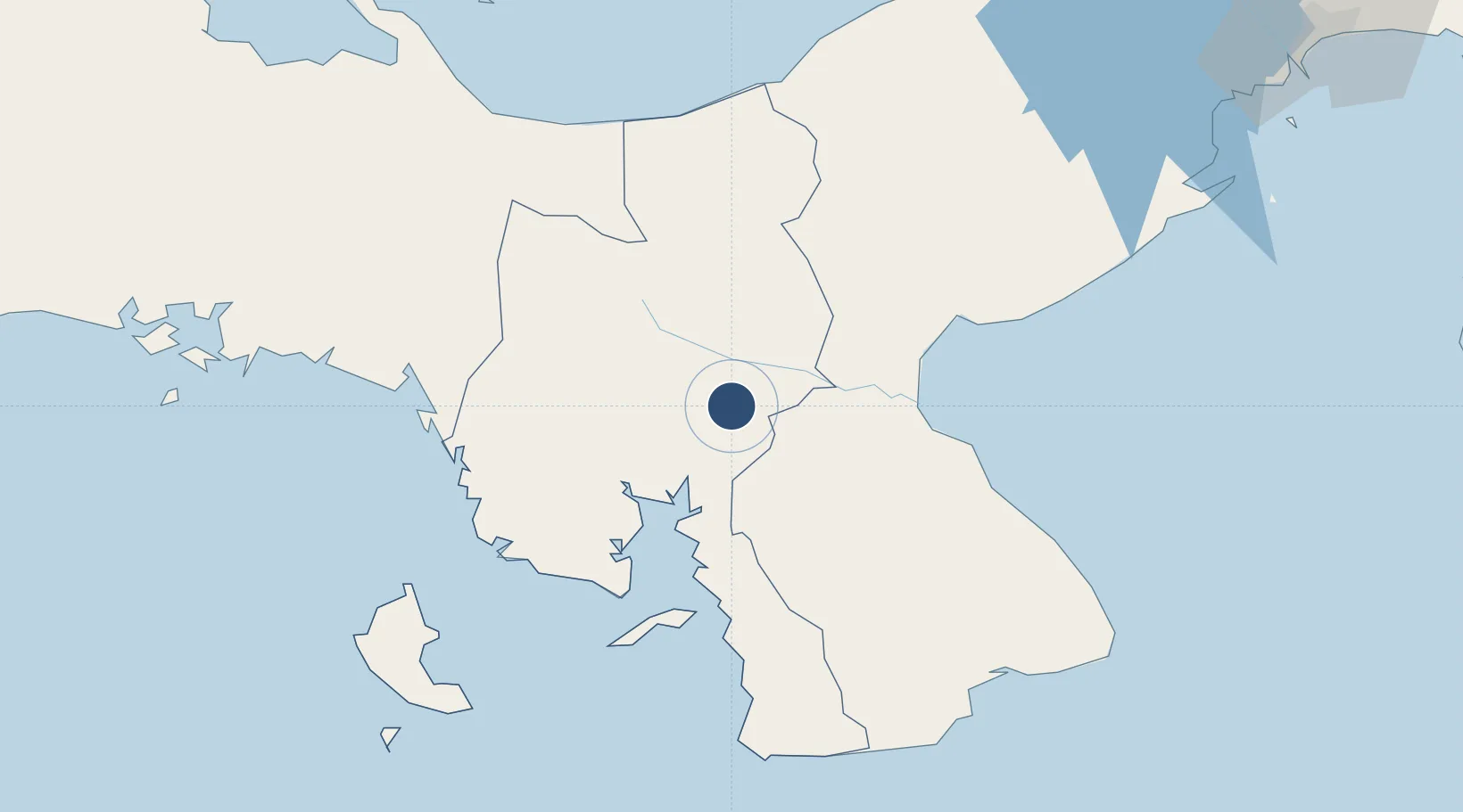
8.0856°, -80.9453°
3,937 ft
Longest runway
1
Runways
272 ft
Elevation

Runway & Layout

Ruben Cantu Airport runway & taxiway layout
Runway & taxiway layout — OpenStreetMap (ODbL) / OurAirports

Radio Frequencies

RDO
124 MHz
SANTIAGO RDO
OurAirports

Navaids

STG VOR-DME Santiago 114.50 MHz
OurAirports

Runways · 1

RunwayDimensions SurfaceTrue headingLit
17/35 3,937 × 82ft Asphalt 175°
OurAirports

Airport Specifications

IATA code
SYP
OurAirports
ICAO code
MPSA
OurAirports
Airport class
Medium airport
OurAirports
Scheduled service
No
OurAirports
Runway surface
Asphalt
OurAirports
Served city
Santiago
OurAirports

Location

Location of MPSA
Natural Earth 10m (public domain) · Veraguas · MPSA · 8.09, -80.95GoogleOSMYandex

Nearby Logistics Neighbours

Airports
  1. 1Alonso Valderrama Airport60 km
  2. 2Pixvae Airstrip74 km
  3. 3Scarlett Martinez International Airport96 km
  4. 4Capt. J. Montenegro Airport117 km
  5. 5Enrique Malek International Airport168 km
Nearest neighbours — logibook spatial index (haversine) over the source coordinates
Cities
  1. 1Cañazas28 km
  2. 2Potuga36 km
  3. 3Herrera42 km
  4. 4Pesé42 km
  5. 5El Alto49 km
Nearest neighbours — logibook spatial index (haversine) over the source coordinates
Ports
  1. 1Punta Rincon107 km
  2. 2Chiriqui Grande161 km
  3. 3Vacamonte165 km
  4. 4Pedregal166 km
  5. 5Balboa180 km
Nearest neighbours — logibook spatial index (haversine) over the source coordinates
Trade Zones
  1. 1Zona Franca Cobol Due54 km
  2. 2Panamá Pacífico Special Economic Area175 km
  3. 3City of Knowledge (Ciudad del Saber)180 km
  4. 4Zona Franca Marpesca Corozal181 km
  5. 5Colón Free Zone182 km
Nearest neighbours — logibook spatial index (haversine) over the source coordinates
DatabookThe Record of Consolidated Knowledge
Panama beyond logistics?
Browse databook

All Sources

AirportsOurAirports
Public domain
Portsthe NGA World Port Index
Public domain (US gov)
LocationsUN/LOCODE
UN/LOCODE — free
Trade Zonesthe World Bank SEZ database
CC BY 4.0
Trade ZonesOpen Zone Map
CC BY
InfrastructureOpenStreetMap
ODbL 1.0
← Panama airports