Transport Functions
Port
Road
Multimodal
Hub Profile
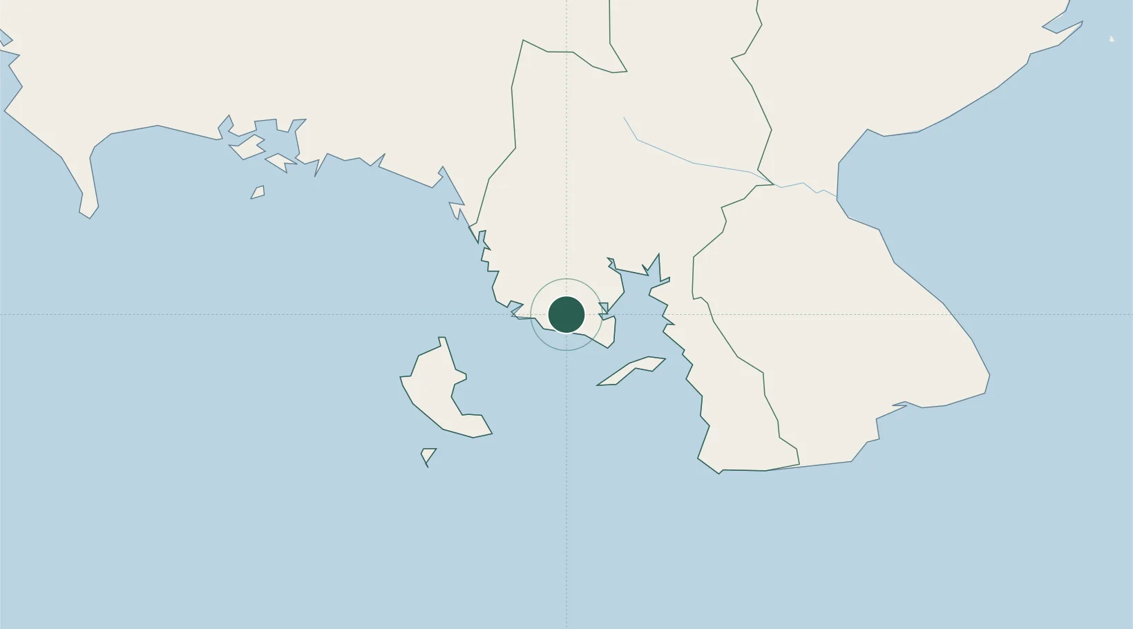
Place type
District seat
Region
Veraguas Province
Population
71
Time zone
America/Panama
Elevation
36 m
Location
Nearby Logistics Neighbours
Ports
- 1Pedregal139 km
- 2Chiriqui Grande161 km
- 3Punta Rincon161 km
- 4Charco Azul176 km
- 5Puerto Armuelles176 km
Airports
- 1Pixvae Airstrip28 km
- 2Ruben Cantu Airport61 km
- 3Alonso Valderrama Airport108 km
- 4Enrique Malek International Airport141 km
- 5Capt. J. Montenegro Airport145 km
Trade Zones
DatabookThe Record of Consolidated Knowledge
Panama beyond logistics?