Medium airport · Panama

Alonso Valderrama AirportMPCE
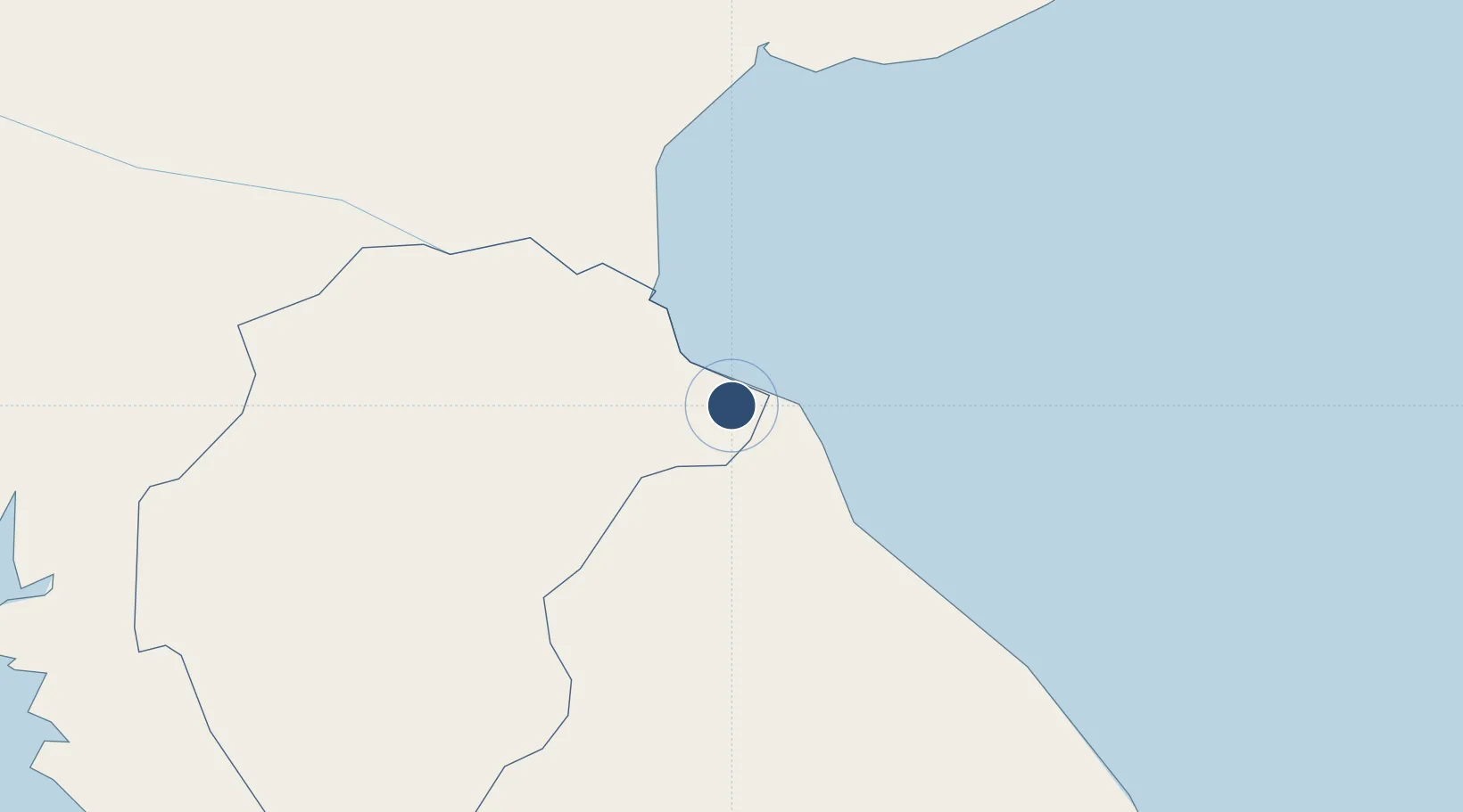
7.9878°, -80.4098°
4,921 ft
Longest runway
1
Runways
33 ft
Elevation

Runway & Layout

Alonso Valderrama Airport runway & taxiway layout
Runway & taxiway layout — OpenStreetMap (ODbL) / OurAirports

Radio Frequencies

RDO
124.3 MHz
CHITRE RDO
OurAirports

Navaids

CHE NDB Alonso Valderrama 440 kHz
OurAirports

Runways · 1

RunwayDimensions SurfaceTrue headingLit
01/19 4,921 × 66ft Asphalt 012°
OurAirports

Airport Specifications

IATA code
CTD
OurAirports
ICAO code
MPCE
OurAirports
Airport class
Medium airport
OurAirports
Scheduled service
Yes
OurAirports
Runway surface
Asphalt
OurAirports
Served city
Chitré
OurAirports

Location

Location of MPCE
Natural Earth 10m (public domain) · Herrera · MPCE · 7.99, -80.41GoogleOSMYandex

Nearby Logistics Neighbours

Airports
  1. 1Scarlett Martinez International Airport53 km
  2. 2Ruben Cantu Airport60 km
  3. 3Capt. J. Montenegro Airport65 km
  4. 4Pixvae Airstrip129 km
  5. 5Panamá Pacífico International Airport136 km
Nearest neighbours — logibook spatial index (haversine) over the source coordinates
Cities
  1. 1Chitre4 km
  2. 2Los Santos6 km
  3. 3Agua Buena19 km
  4. 4Potuga24 km
  5. 5Pesé25 km
Nearest neighbours — logibook spatial index (haversine) over the source coordinates
Ports
  1. 1Punta Rincon119 km
  2. 2Vacamonte127 km
  3. 3Balboa142 km
  4. 4Puerto Cristobal161 km
  5. 5Puerto Colon164 km
Nearest neighbours — logibook spatial index (haversine) over the source coordinates
Trade Zones
  1. 1Zona Franca Cobol Due8 km
  2. 2Panamá Pacífico Special Economic Area137 km
  3. 3Zona Franca Marpesca Corozal144 km
  4. 4City of Knowledge (Ciudad del Saber)144 km
  5. 5Zona Franca de Albrook146 km
Nearest neighbours — logibook spatial index (haversine) over the source coordinates
DatabookThe Record of Consolidated Knowledge
Panama beyond logistics?
Browse databook

All Sources

AirportsOurAirports
Public domain
Portsthe NGA World Port Index
Public domain (US gov)
LocationsUN/LOCODE
UN/LOCODE — free
Trade Zonesthe World Bank SEZ database
CC BY 4.0
Trade ZonesOpen Zone Map
CC BY
InfrastructureOpenStreetMap
ODbL 1.0
← Panama airports