UN/LOCODE hub · New Zealand
NZMFN
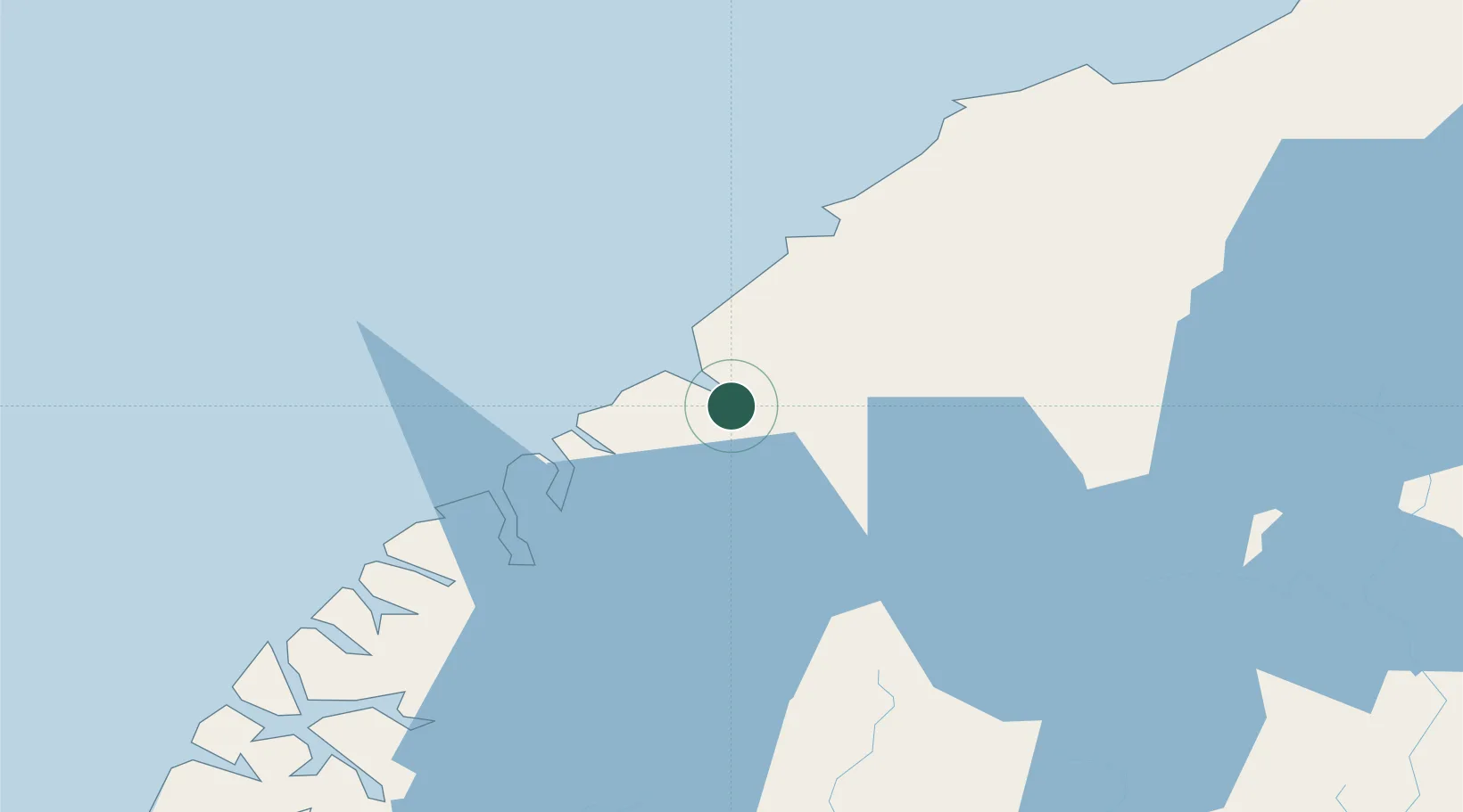
Milford Sound
-44.6667°, 167.9167°
435
Population
2
Transport functions
Transport Functions
Port
Road
Hub Profile
Place type
Populated place
Region
Southland
Population
435
Time zone
Pacific/Auckland
Elevation
267 m
Location
Nearby Logistics Neighbours
Cities
- 1Deep Cove106 km
- 2Otematata186 km
- 3Makarewa188 km
- 4Edendale196 km
- 5Tiwai Point-Bluff Port216 km
Ports
- 1Bluff Harbor217 km
- 2Otago Harbor248 km
- 3Timaru266 km
- 4Greymouth364 km
- 5Port Lyttelton401 km
Airports
- 1Queenstown Airport76 km
- 2Manapouri Airport99 km
- 3Wanaka Airport105 km
- 4Alexandra Aerodrome130 km
- 5Pukaki Airport181 km
Trade Zones
- 1Hicks Bay Area Special Economic Zone1160 km
- 2Latrobe Valley Economic Growth Zone1924 km
- 3Rotuma-Kadavu Tax-Free Region3107 km
- 4Kalabu Tax Free Zone3114 km
- 5Nausori-Ba Tax-Free Region3122 km
DatabookThe Record of Consolidated Knowledge
New Zealand beyond logistics?