UN/LOCODE hub · Norway
NOGOT

Grøtavær

68.9667°, 16.2500°
1
Transport functions

Transport Functions

Port
UN/LOCODE

Hub Profile

Region
19
GeoNames

Location

Location of NOGOT
Natural Earth 10m (public domain) · 19 · NOGOT · 68.97, 16.25GoogleOSMYandex

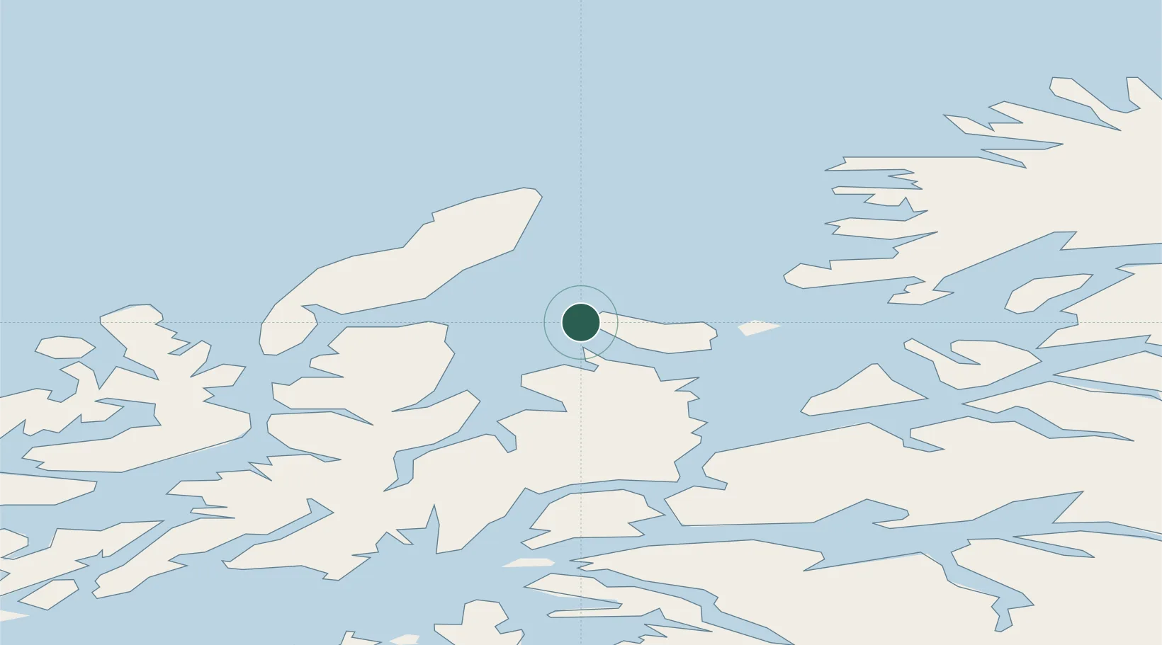
Nearby Logistics Neighbours

Cities
  1. 1Bjarkøy12 km
  2. 2Sandøya17 km
  3. 3Borkenes23 km
  4. 4Kvæfjord23 km
  5. 5Harstad23 km
Nearest neighbours — logibook spatial index (haversine) over the source coordinates
Ports
  1. 1Harstad22 km
  2. 2Andenes41 km
  3. 3Sortland45 km
  4. 4Ulvik45 km
  5. 5Lilandsgrunnen60 km
Nearest neighbours — logibook spatial index (haversine) over the source coordinates
Airports
  1. 1Andøya Airport, Andenes37 km
  2. 2Harstad/Narvik Airport56 km
  3. 3Stokmarknes Airport, Skagen65 km
  4. 4Bardufoss Airport92 km
  5. 5Svolvær Airport, Helle103 km
Nearest neighbours — logibook spatial index (haversine) over the source coordinates
Trade Zones
  1. 1Oulu Port Free Warehouse Area593 km
  2. 2Turku Free Zone988 km
  3. 3Free Zone of Lappeenranta1039 km
  4. 4Freeport of Hanko1063 km
  5. 5Port of Hamina-Kotka1069 km
Nearest neighbours — logibook spatial index (haversine) over the source coordinates
DatabookThe Record of Consolidated Knowledge
Norway beyond logistics?
Browse databook

All Sources

LocationsUN/LOCODE
UN/LOCODE — free
Portsthe NGA World Port Index
Public domain (US gov)
AirportsOurAirports
Public domain
Trade Zonesthe World Bank SEZ database
CC BY 4.0
Trade ZonesOpen Zone Map
CC BY
← Norway locations