Transport Functions
Port
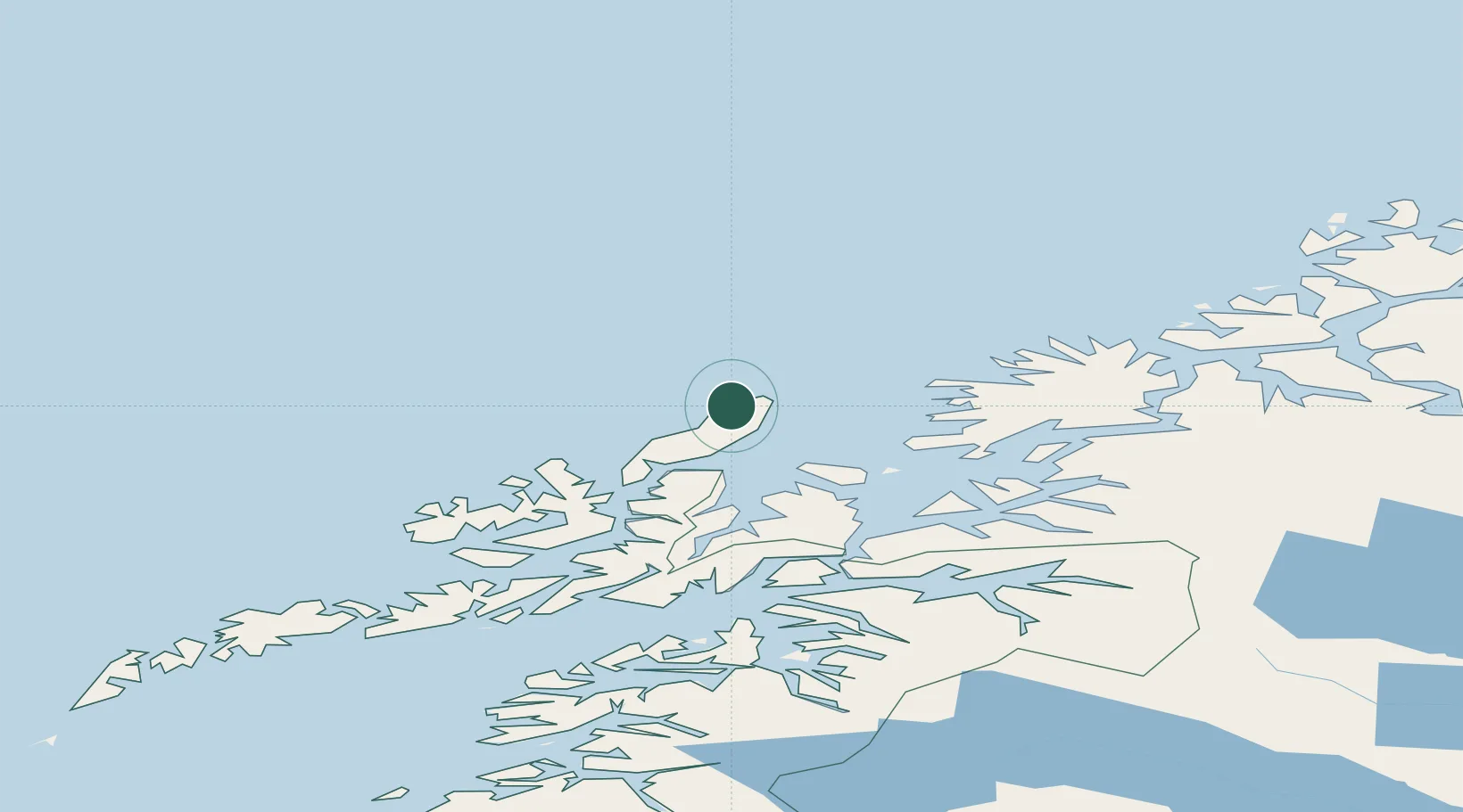
Hub Profile
Place type
Populated place
Region
Nordland
Population
456
Time zone
Europe/Oslo
Elevation
20 m
Location
Nearby Logistics Neighbours
Airports
- 1Andøya Airport, Andenes8 km
- 2Stokmarknes Airport, Skagen85 km
- 3Harstad/Narvik Airport91 km
- 4Bardufoss Airport105 km
- 5Tromsø Airport125 km
Trade Zones
- 1Oulu Port Free Warehouse Area625 km
- 2Turku Free Zone1023 km
- 3Freeport of Hanko1099 km
- 4Port of Hamina-Kotka1104 km
- 5Stockholm Free Zone1108 km
DatabookThe Record of Consolidated Knowledge
Norway beyond logistics?