Transport Functions
Port
Road
Airport
Hub Profile
Place type
Provincial seat
Region
Nordland
Population
2,694
Time zone
Europe/Oslo
Elevation
1 m
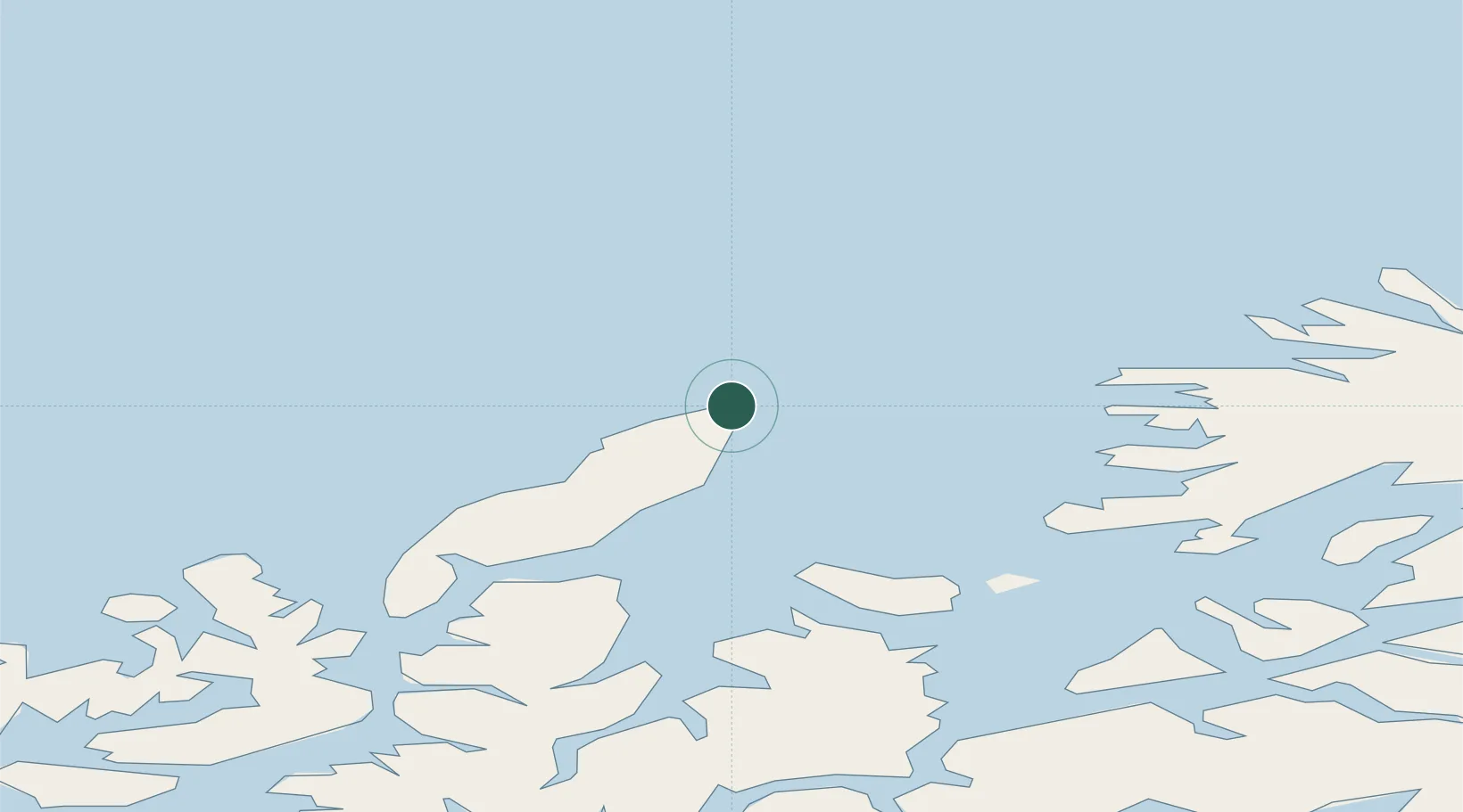
Location
Nearby Logistics Neighbours
Cities
- 1Bleik9 km
- 2Nordmela27 km
- 3Gryllefjord38 km
- 4Torsken38 km
- 5Skrolsvik39 km
Airports
- 1Andøya Airport, Andenes2 km
- 2Stokmarknes Airport, Skagen93 km
- 3Harstad/Narvik Airport94 km
- 4Bardufoss Airport99 km
- 5Tromsø Airport116 km
Trade Zones
- 1Oulu Port Free Warehouse Area624 km
- 2Turku Free Zone1026 km
- 3Free Zone of Lappeenranta1073 km
- 4Freeport of Hanko1102 km
- 5Port of Hamina-Kotka1104 km
DatabookThe Record of Consolidated Knowledge
Norway beyond logistics?