Transport Functions
Port
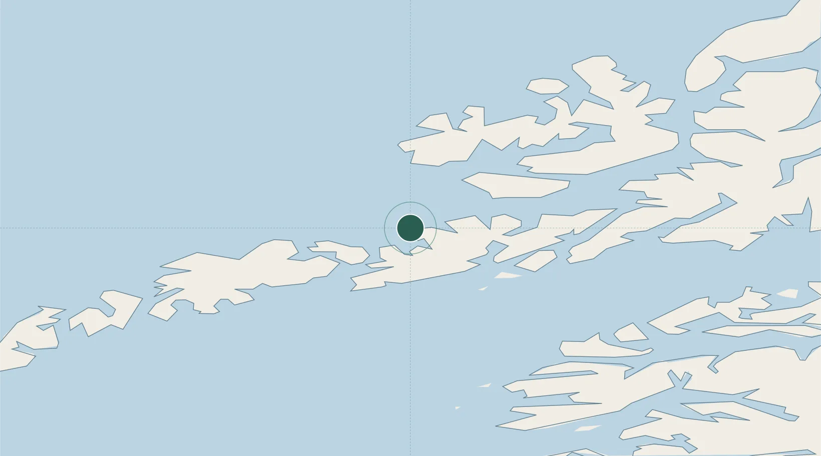
Hub Profile
Place type
Populated place
Region
Nordland
Time zone
Europe/Oslo
Elevation
55 m
Location
Nearby Logistics Neighbours
Cities
- 1Liland15 km
- 2Fiskebøl17 km
- 3Svolvær Osan17 km
- 4Kabelvåg19 km
- 5Melbu19 km
Ports
- 1Svolvaer18 km
- 2Brettesnes24 km
- 3Skrova Havn26 km
- 4Henningsvaer27 km
- 5Stokkmarknes29 km
Airports
- 1Svolvær Airport, Helle19 km
- 2Stokmarknes Airport, Skagen33 km
- 3Leknes Airport42 km
- 4Harstad/Narvik Airport93 km
- 5Værøy Heliport107 km
Trade Zones
- 1Oulu Port Free Warehouse Area612 km
- 2Turku Free Zone957 km
- 3Stockholm Free Zone1020 km
- 4Freeport of Hanko1034 km
- 5Port of Hamina-Kotka1061 km
DatabookThe Record of Consolidated Knowledge
Norway beyond logistics?