UN/LOCODE hub · Netherlands
NLSVG
Sas van Gent
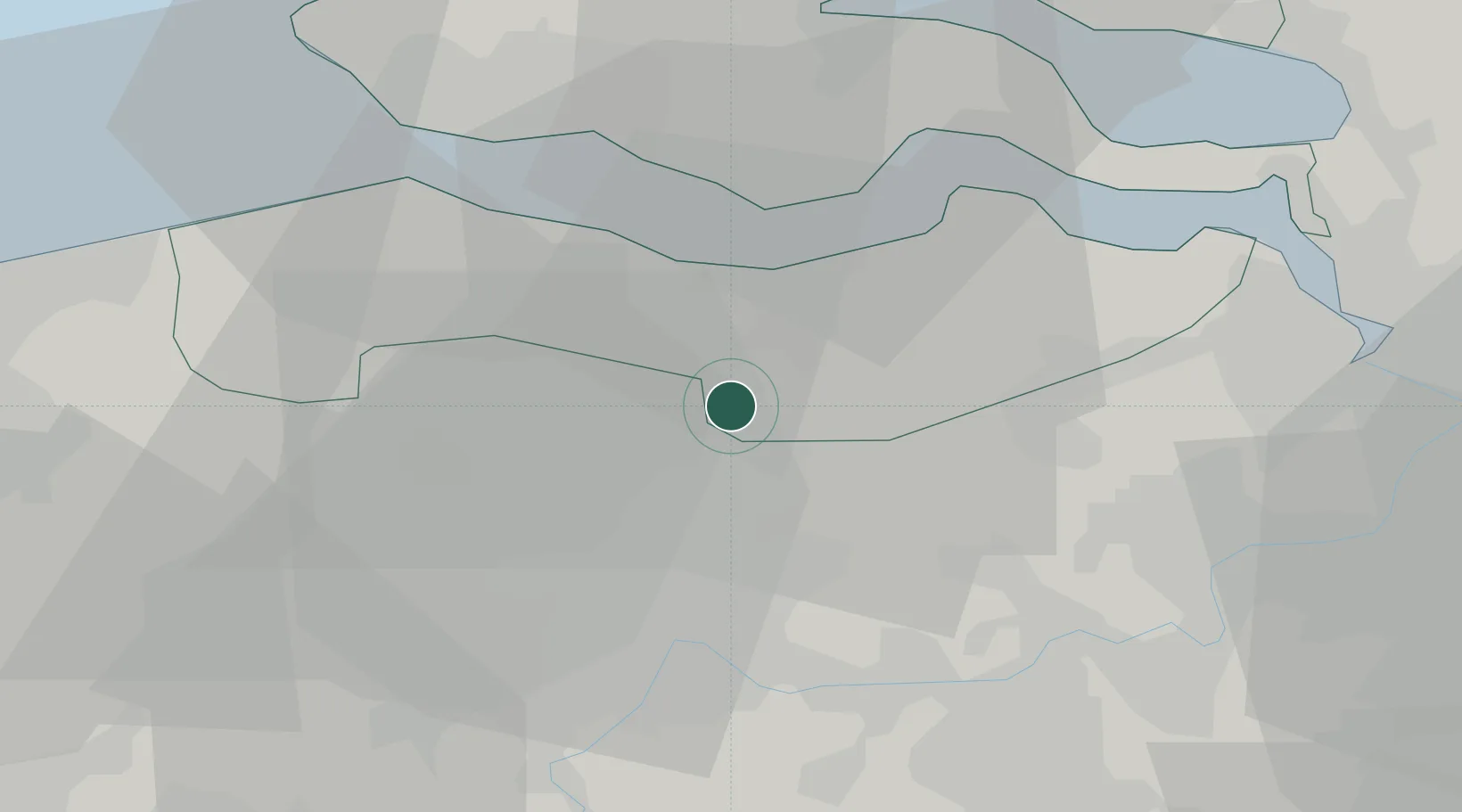
51.2333°, 3.8000°
3,856
Population
2
Transport functions
Transport Functions
Port
Road
Hub Profile
Place type
Populated place
Region
Zeeland
Population
3,856
Time zone
Europe/Amsterdam
Elevation
5 m
Location
Nearby Logistics Neighbours
Cities
- 1Zelzate4 km
- 2Philippine6 km
- 3Sluiskil6 km
- 4Boekhoute6 km
- 5Ertvelde7 km
Ports
- 1Terneuzen13 km
- 2Ghent19 km
- 3Vlissingen28 km
- 4Hansweert28 km
- 5Bruges41 km
Airports
Trade Zones
DatabookThe Record of Consolidated Knowledge
Netherlands beyond logistics?