Transport Functions
Port
Road
Hub Profile
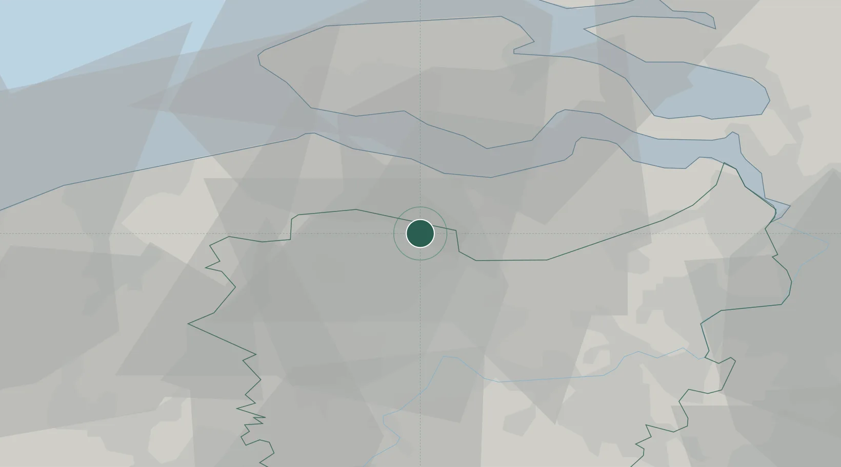
Place type
Populated place
Region
Flanders
Population
2,129
Time zone
Europe/Brussels
Elevation
4 m
Location
Nearby Logistics Neighbours
Cities
- 1Philippine5 km
- 2Sas van Gent6 km
- 3Ertvelde8 km
- 4Hoek8 km
- 5Zelzate9 km
Ports
- 1Terneuzen13 km
- 2Ghent20 km
- 3Vlissingen24 km
- 4Hansweert30 km
- 5Bruges35 km
Airports
Trade Zones
- 1ZFU Tourcoing70 km
- 2ZFU Hem et Roubaix73 km
- 3ZFU de Lille et de Loos85 km
- 4ZFU Condé sur lEscaut88 km
- 5ZFU Saint Pol sur Mer100 km
DatabookThe Record of Consolidated Knowledge
Belgium beyond logistics?