Transport Functions
Airport
Multimodal
Hub Profile
Place type
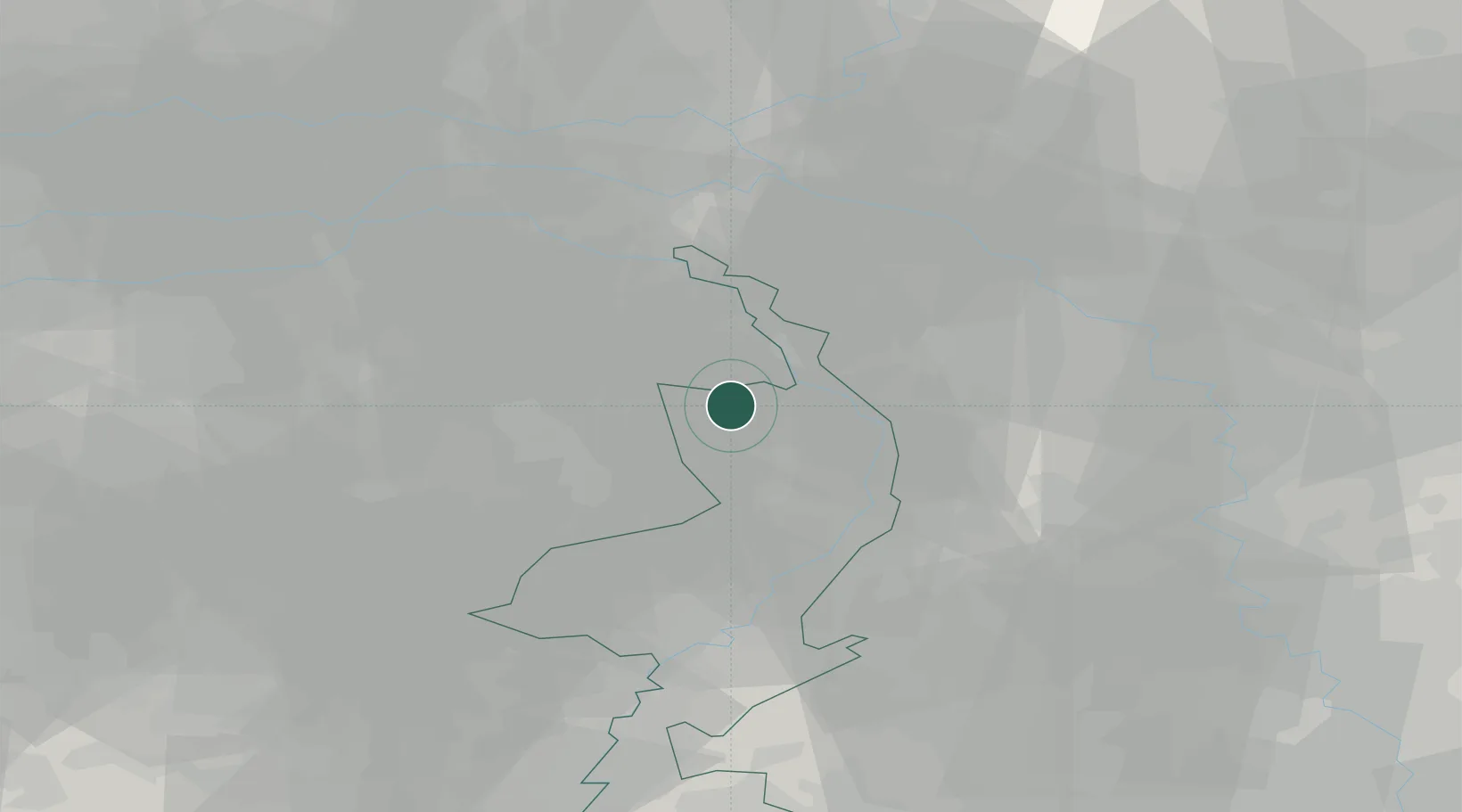
Populated place
Region
Limburg
Time zone
Europe/Amsterdam
Elevation
23 m
Location
Nearby Logistics Neighbours
Cities
- 1Veulen6 km
- 2Oirlo6 km
- 3Ijsselsteyn7 km
- 4Maashees7 km
- 5Wanssum9 km
Airports
- 1Weeze (Niederrhein) Airport15 km
- 2Volkel Air Base22 km
- 3Kempen Airport Budel39 km
- 4Eindhoven Airport41 km
- 5Mönchengladbach Airport51 km
Trade Zones
- 1Freeport of Duisburg45 km
- 2Rheinische Revier SWZ76 km
- 3ZFU Maubeuge, Louvroil200 km
- 4ZFU Condé sur lEscaut204 km
- 5Luxembourg Free Port212 km
DatabookThe Record of Consolidated Knowledge
Netherlands beyond logistics?