Transport Functions
Multimodal
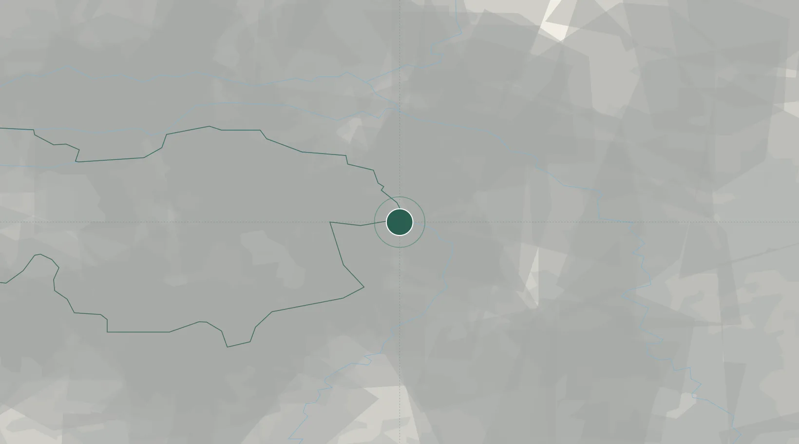
Hub Profile
Place type
Populated place
Region
North Brabant
Time zone
Europe/Amsterdam
Elevation
18 m
Location
Nearby Logistics Neighbours
Cities
- 1Bosscherheide4 km
- 2Well5 km
- 3Wanssum5 km
- 4Oirlo6 km
- 5Beek7 km
Airports
- 1Weeze (Niederrhein) Airport8 km
- 2Volkel Air Base25 km
- 3Kempen Airport Budel46 km
- 4Eindhoven Airport47 km
- 5Mönchengladbach Airport50 km
Trade Zones
- 1Freeport of Duisburg41 km
- 2Rheinische Revier SWZ77 km
- 3Freeport of Emden212 km
- 4Luxembourg Free Port215 km
- 5ZFU Ronde Couture223 km
DatabookThe Record of Consolidated Knowledge
Netherlands beyond logistics?