Transport Functions
Port
Multimodal
Hub Profile
Region
LI
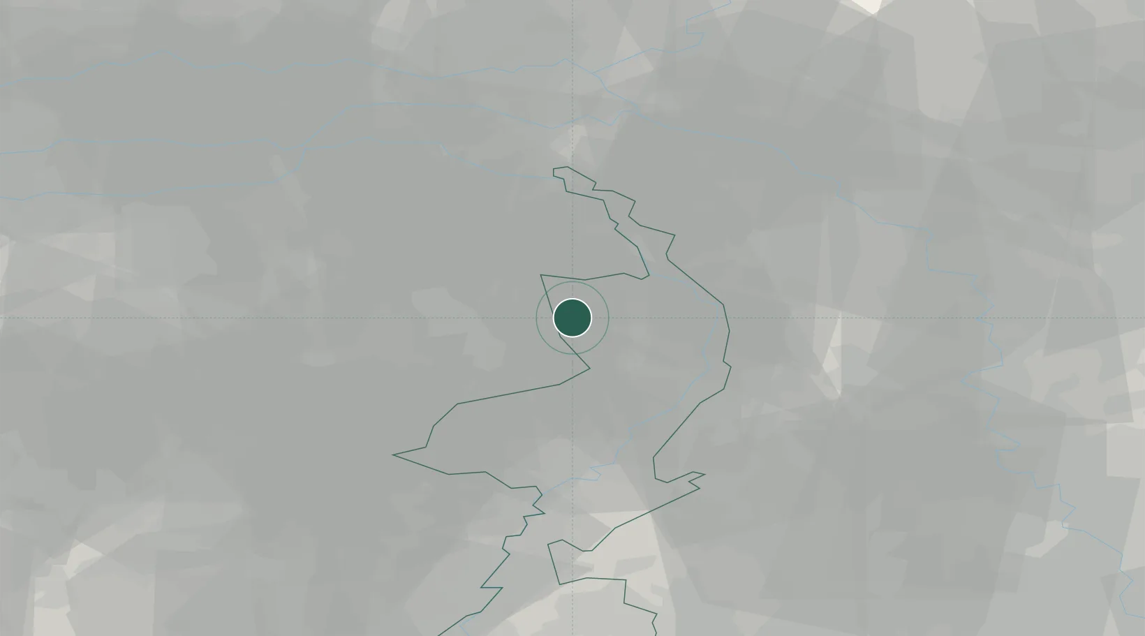
Location
Nearby Logistics Neighbours
Cities
- 1Veulen4 km
- 2Beek7 km
- 3America8 km
- 4Oirlo10 km
- 5Kronenberg10 km
Ports
- 1Dordrecht94 km
- 2Rotterdam108 km
- 3Antwerpen108 km
- 4Schiedam113 km
- 5Vlaardingen117 km
Airports
- 1Weeze (Niederrhein) Airport21 km
- 2Volkel Air Base24 km
- 3Kempen Airport Budel33 km
- 4Eindhoven Airport37 km
- 5Kleine Brogel Air Base46 km
Trade Zones
- 1Freeport of Duisburg48 km
- 2Rheinische Revier SWZ72 km
- 3ZFU Maubeuge, Louvroil194 km
- 4ZFU Condé sur lEscaut198 km
- 5Luxembourg Free Port206 km
DatabookThe Record of Consolidated Knowledge
Netherlands beyond logistics?