Transport Functions
Multimodal
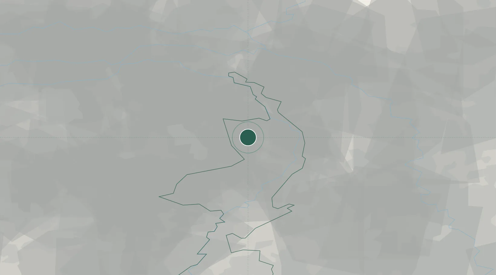
Hub Profile
Place type
Populated place
Region
Limburg
Population
520
Time zone
Europe/Amsterdam
Elevation
30 m
Location
Nearby Logistics Neighbours
Cities
- 1Ijsselsteyn4 km
- 2Beek6 km
- 3America6 km
- 4Oirlo7 km
- 5Hegelsom8 km
Ports
- 1Dordrecht97 km
- 2Rotterdam111 km
- 3Antwerpen112 km
- 4Schiedam117 km
- 5Vlaardingen120 km
Airports
- 1Weeze (Niederrhein) Airport19 km
- 2Volkel Air Base26 km
- 3Kempen Airport Budel35 km
- 4Eindhoven Airport40 km
- 5Mönchengladbach Airport48 km
Trade Zones
- 1Freeport of Duisburg44 km
- 2Rheinische Revier SWZ71 km
- 3ZFU Maubeuge, Louvroil196 km
- 4ZFU Condé sur lEscaut201 km
- 5Luxembourg Free Port206 km
DatabookThe Record of Consolidated Knowledge
Netherlands beyond logistics?